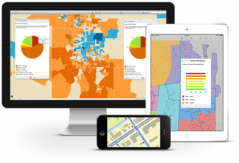
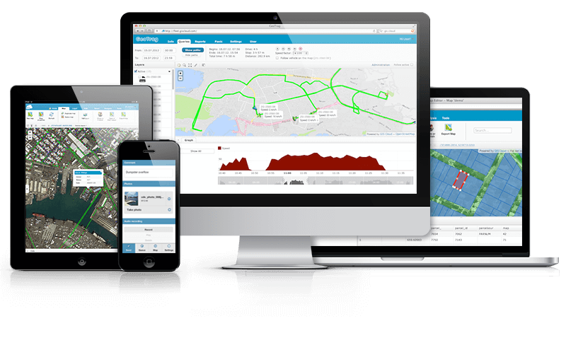
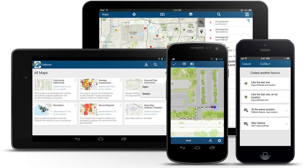
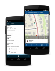
Mobile geoinformation system is a mapping app for mobile devices (smartphones, tablets), aimed for access, processing, analysis and graphical visualization of spatial data, allowing to work with information directly in-place. Mobile GIS is becoming more and more popular due to the widespread use of smartphones and tablets, they have a reasonably simple interface adapted for devices with small screens and a limited set of functions (in comparison to desktop GIS).
Mobile GIS is a part of integrated GIS-solutions and may be used by:
- employees of the organization for collection, clarification and on-place use of information about objects, resources, performed works;
- management of the organization and departments for visualization of various analytical information, quick and convenient access to the data necessary for making managing decisions.


