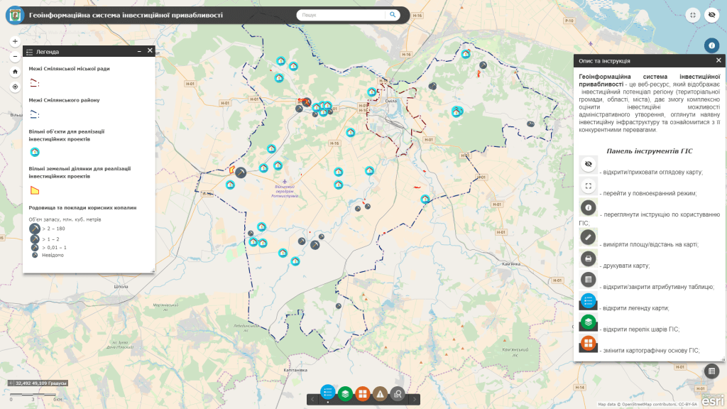
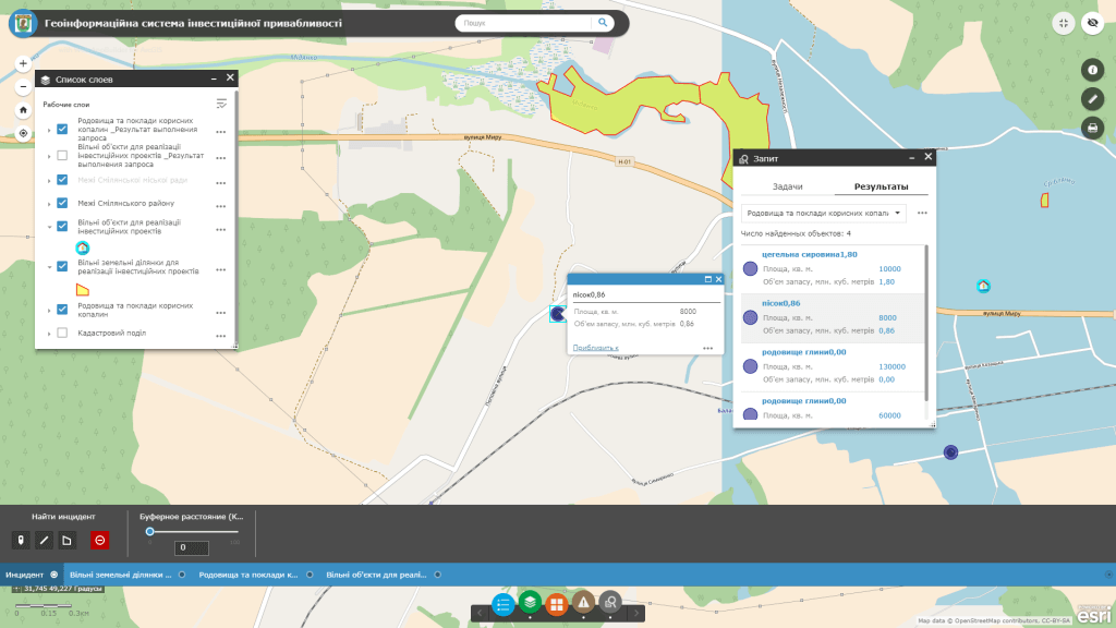
The Geographic Information System for Investment Attractiveness is a dedicated module of the geographic information system that displays the investment potential of a region (territorial community, oblast, city). It enables a comprehensive assessment of the objects, opportunities for launching new businesses or investment opportunities of an administrative unit, provides an overview of the existing investment infrastructure, and highlights its competitive advantages. The resource compiles information about investment-attractive expanding existing ones, and facilitates communication between the owners of such objects and investors to promote investment in the specified areas.
The Geographic Information System (GIS) visually presents information about available land plots, investment-attractive real estate properties, integral property complexes, and mineral deposits that are in state, communal, or private ownership. It provides detailed information for each object, including its location, area, a comprehensive description with photographs, ownership or usage form, designated and functional purpose, and the availability of utility infrastructure.


