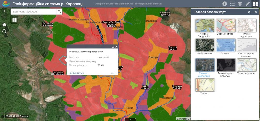
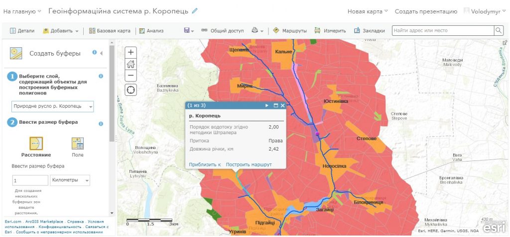
The main assignment of the GIS for water cadastre is the ability to collect data, create databases, enter them into computer systems, store, process, convert, and then issue them at the user’s request. The opportunity of convenient for the end user analyzing of information in a cartographic form or in the form of tables, graphs, diagrams. The decision support system for managing water bodies is based on modern advances in geoinformation technologies and web cartography. The implementation of the GIS for the water cadastre allows to facilitate and automate the work, significantly expand the use of topographic and thematic maps that contain a large amount of information necessary for the analysis of the hydrological regime of water bodies.
Solve issues of effective water resources management by using cartographic and aerospace information, get quantitative and qualitative information about water bodies, which are inaccessible during field studies or measurements. Get online access to data using a mobile mapping app synchronized with the geoinformation system.

