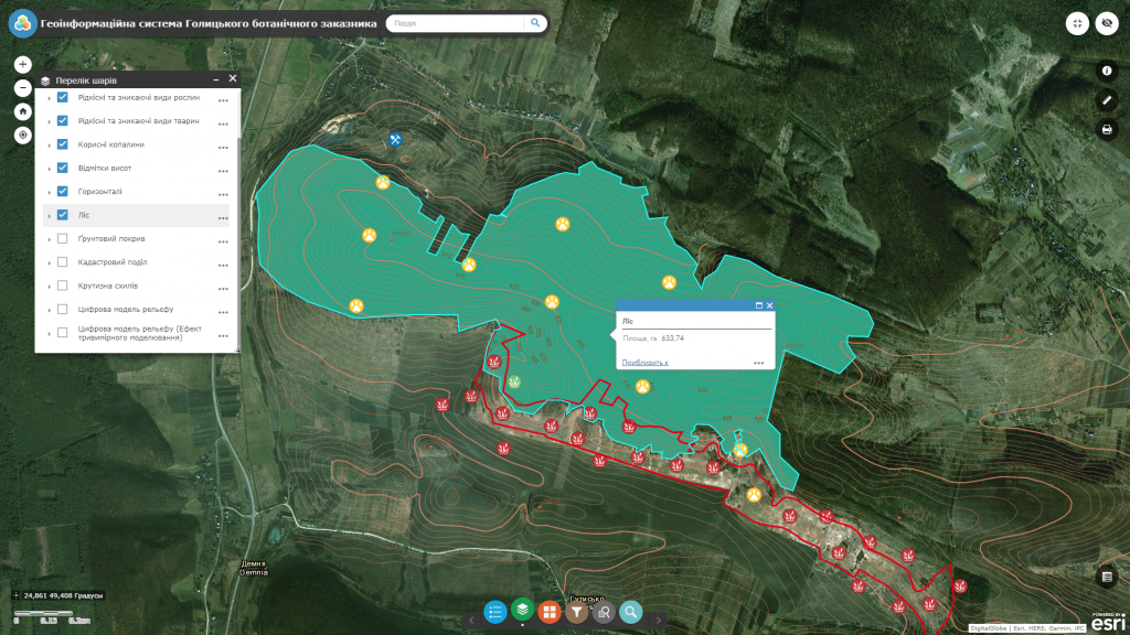
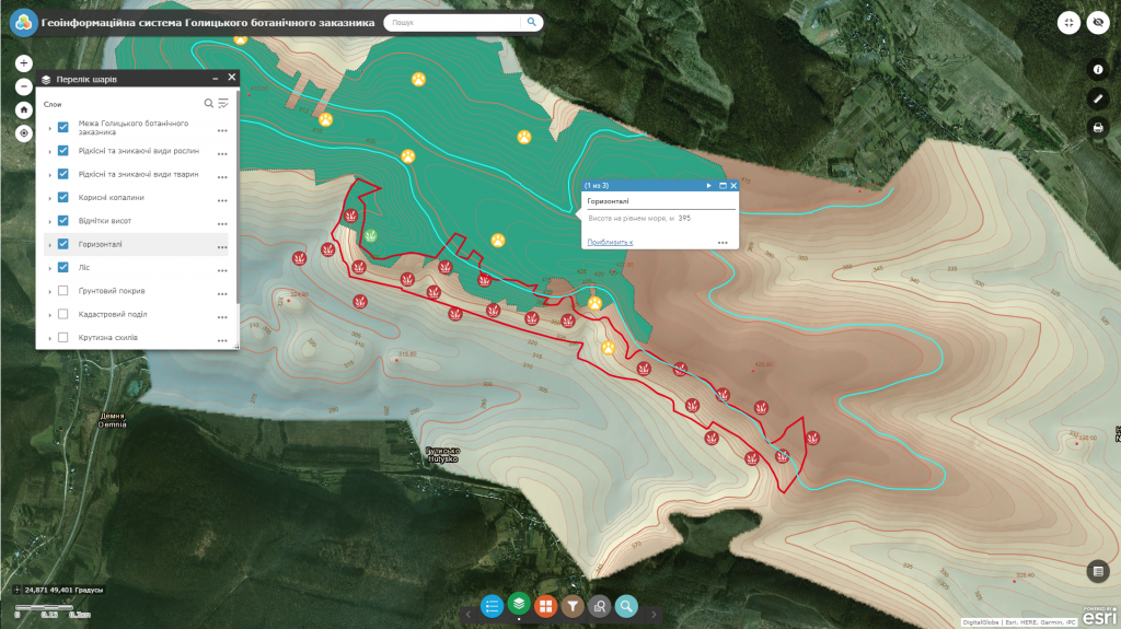
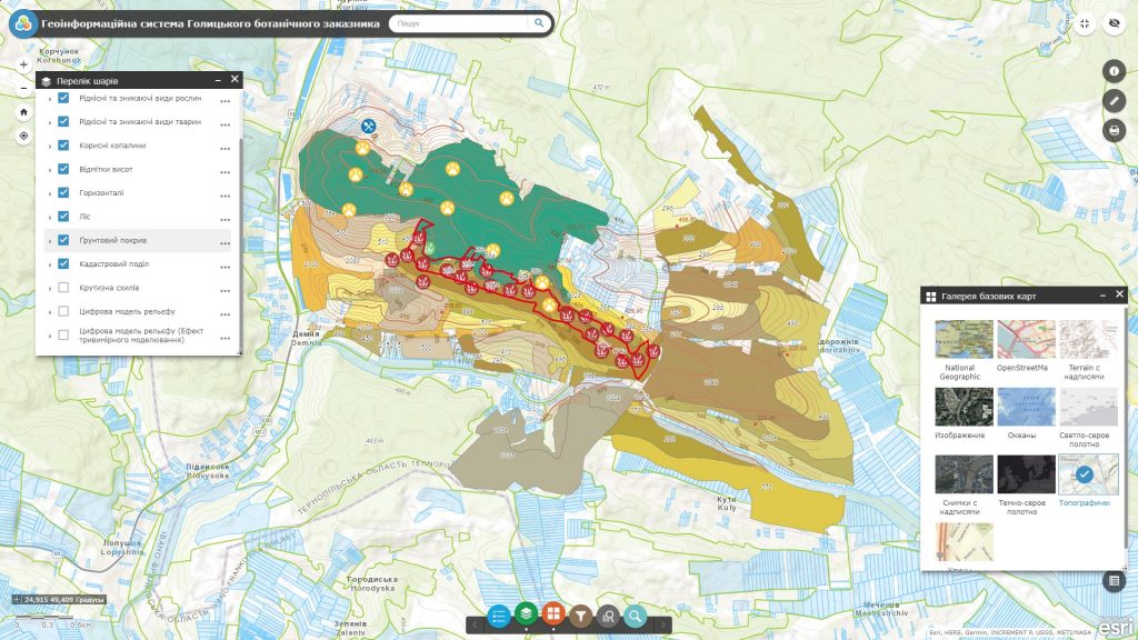
The main task of GIS in the forestry industry is to provide forestry experts and state authorities with spatial information on forest resources and ensuring control over the state and usage of the forest fund. Implementation of such a task is based on the combination of spatial information and databases on the objects of forest management. The GIS solves practical tasks related to the development of a system of measures aimed at ensuring rational forest management and usage of forest resources, effective recreation, conservation and protection of forests. Deliberate management of forest ecosystems based on GIS involves reviewing principles of organizing information support for forestry, developing new methods for analyzing alternatives for forest usage.
Introduction of modern geoinformation technologies (GIS, mobile mapping app, mobile data collectors, etc.) expands possibilities of forest fund valuation by forming thematic maps, obtaining detailed information on separate areas of forests, forecasting dynamics of forest fund in different scenarios of forestry production organization, surface construction and relief sections, and allows to carry out sustainable management of forests at all levels (forestry, forestry enterprise, region, State Committee).


