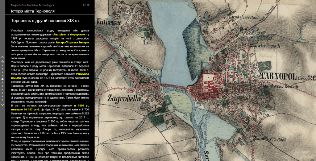
M1MT: Interactive educational map is an electronic mapping resource of the next generation which combines features of an electronic textbook and mapping guide for studying and improving knowledge of school subjects. Developed on the basis of modern technologies, the educational resource meets the requirements of the curriculum of a certain course. It is a visual educational tool which, by combining different forms of comprehension, helps a teacher to prepare and conduct lessons in computer class, using a multimedia projector and interactive whiteboard so that students could deepen their knowledge of geography and develop spatial competence.
Advantages of the interactive map
- user-friendly, intuitive interface that resembles the main elements of popular programs and does not require any additional study of computer technologies for its usage;
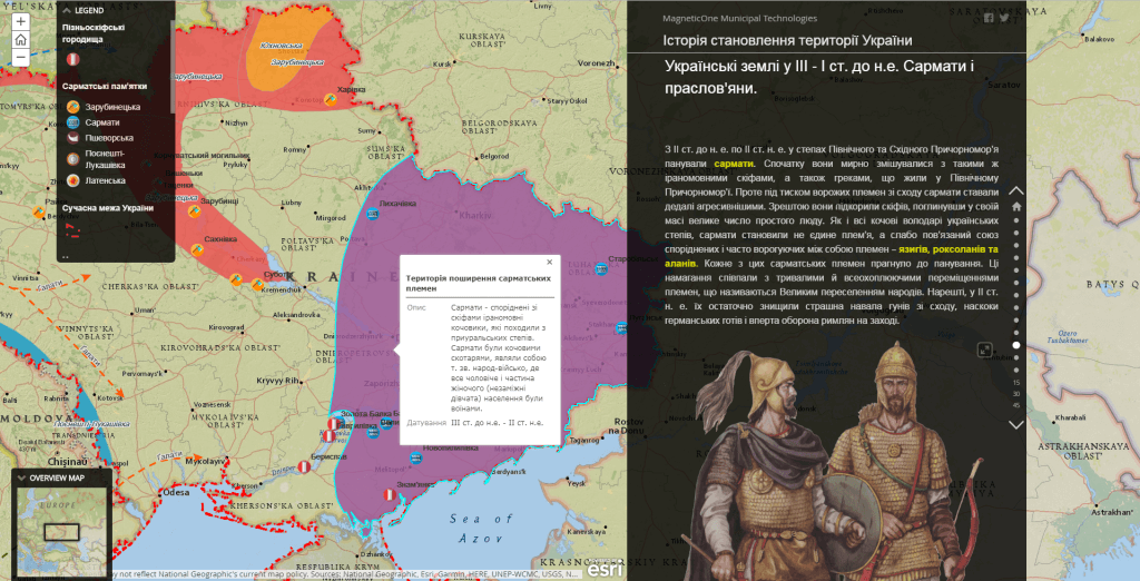
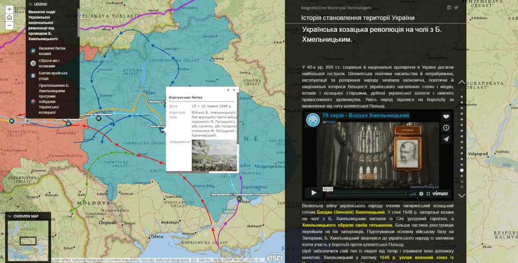
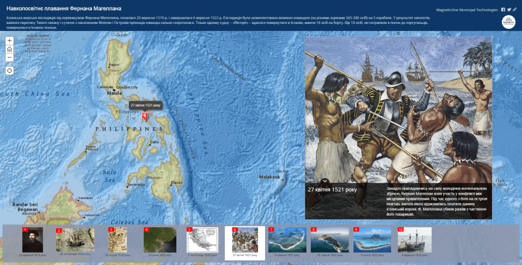
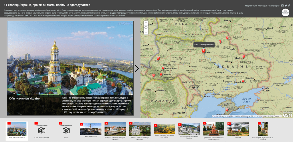
- demonstration features are supplemented with additional information in the form of tables, charts, diagrams, a vocabulary of terms, slides, video materials, animations, etc.;
- the fullest set of functions of the mapping part of the resource: map navigation, getting detailed information about each element on the map;
- constant operational readiness of the resource also via mobile app or mobile version of the resource on your smartphone;
- availability of service support on interactive map usage (features and purpose of the main menu options and operating menu tools) – as elements of the interface;
- for its usage, there is no need in installation, separate disk, flash drive or any other information carrier.
