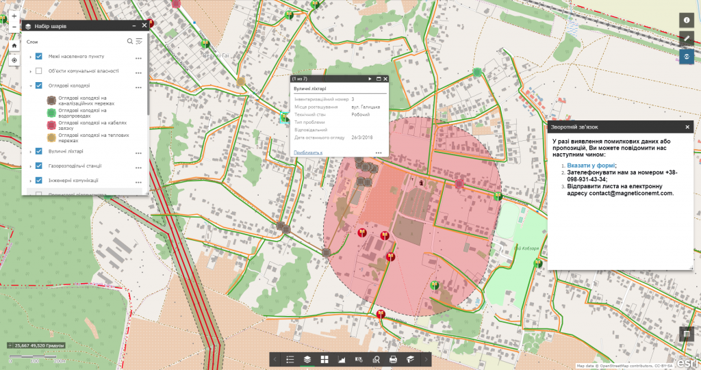
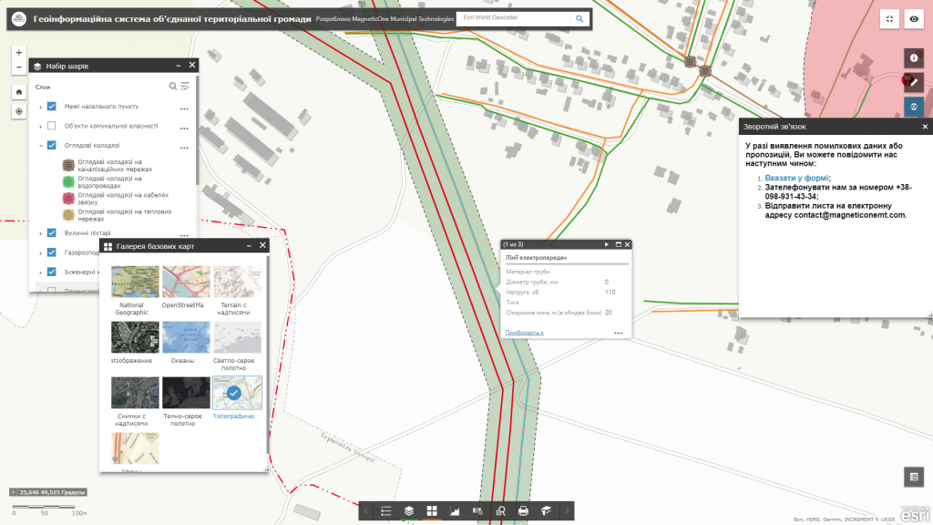
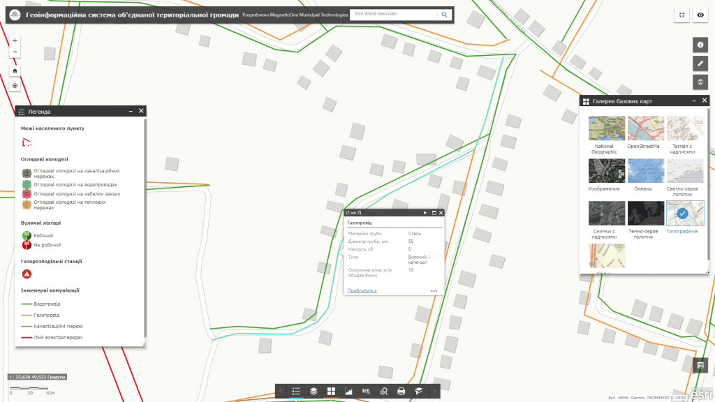
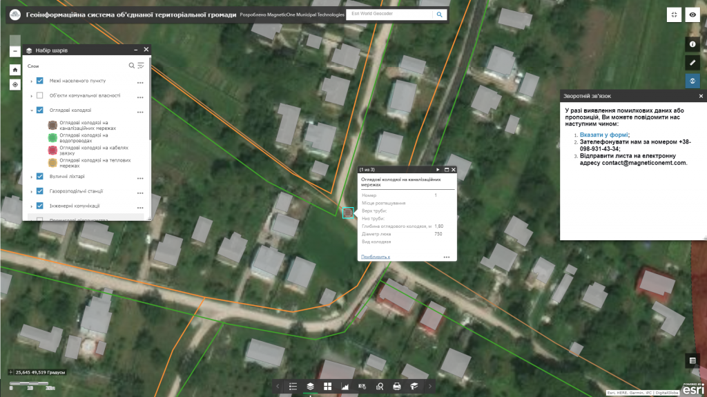
Geoinformation system of utilities – is intended to automate the daily work of experts in the field of urban planning and architecture, municipal dispatching services (water supply, electricity, etc.) – getting precise coordinates of engineering network objects and their main parameters, information about mutual arrangement of networks of different types, defining landmarks to indicate the place of an accident, distance to the nearest buildings, highway, etc.) Implementation of GIS reduces the risks related to the safety of employees of communal enterprises. The functional of the geographic information system is adapted to meet the needs of central and local executive authorities, local authorities, communal enterprises and citizens. Such a GIS, for example, when designing a high-voltage power line route, will warn of a dangerously close location to the old water main, will indicate the date of its setting into operation or overdue maintenance, which altogether may lead to an emergency situation caused by a pipe break near the power line.
The introduction of GIS utilities is a significant step towards the integration of diverse administration information systems into a single platform for efficient management of urban infrastructure.


