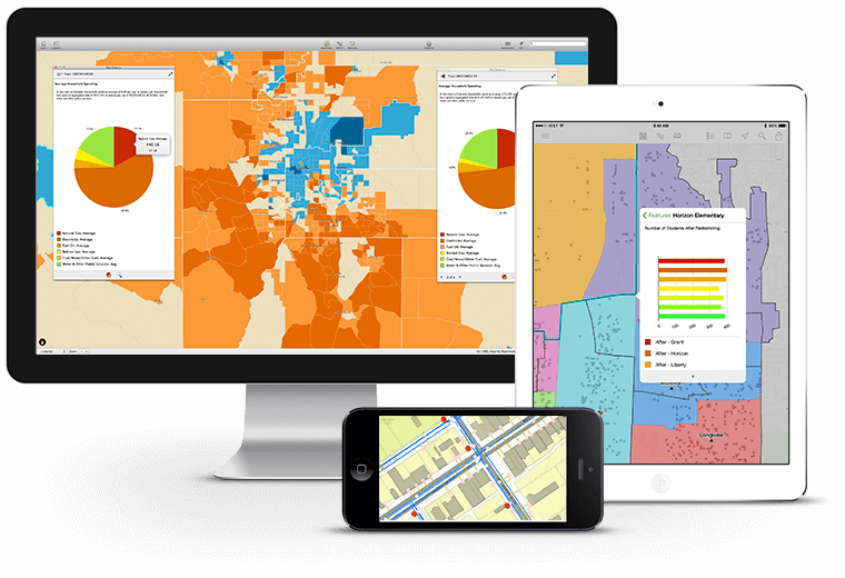
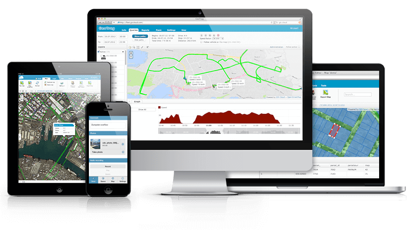
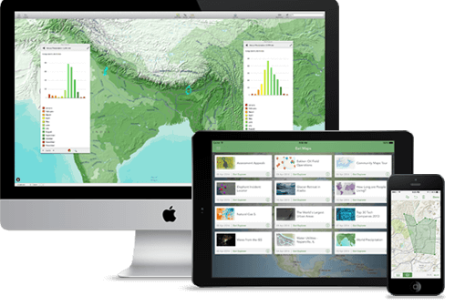
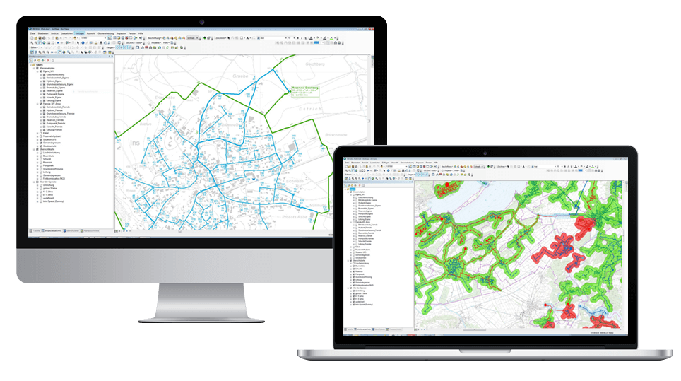
Corporate geoinformation system – is a multi-user geoinformation system that allows you to solve problems of operating with spatial data at the level of large organizations and enterprises. A corporate GIS is based on shared and consistent creation, access and management of spatial information within an organization, as well as between branches and subsidiaries. A corporate GIS is a tool for integrating information flows of all information systems of an organization, using spatial data for solving analytical problems, forecasting and modeling.
The design of corporate GIS is usually carried out taking into account the principle of scalability: as required, new functional units can be introduced into an already existing workflow to connect new users, cover a larger area and increase system performance.
