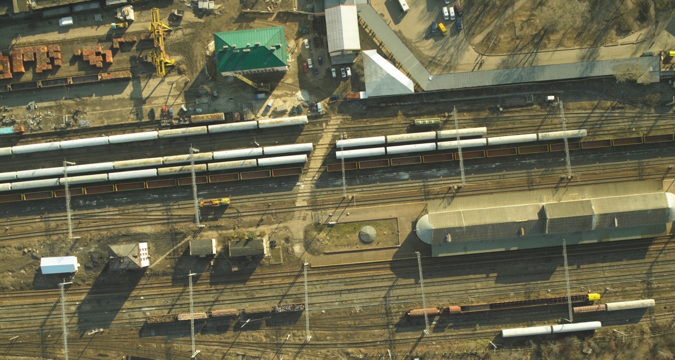
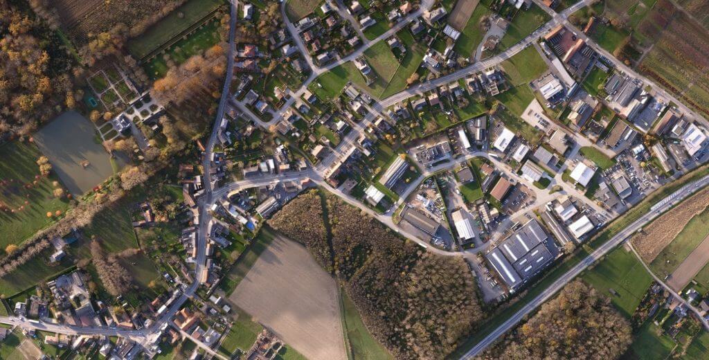
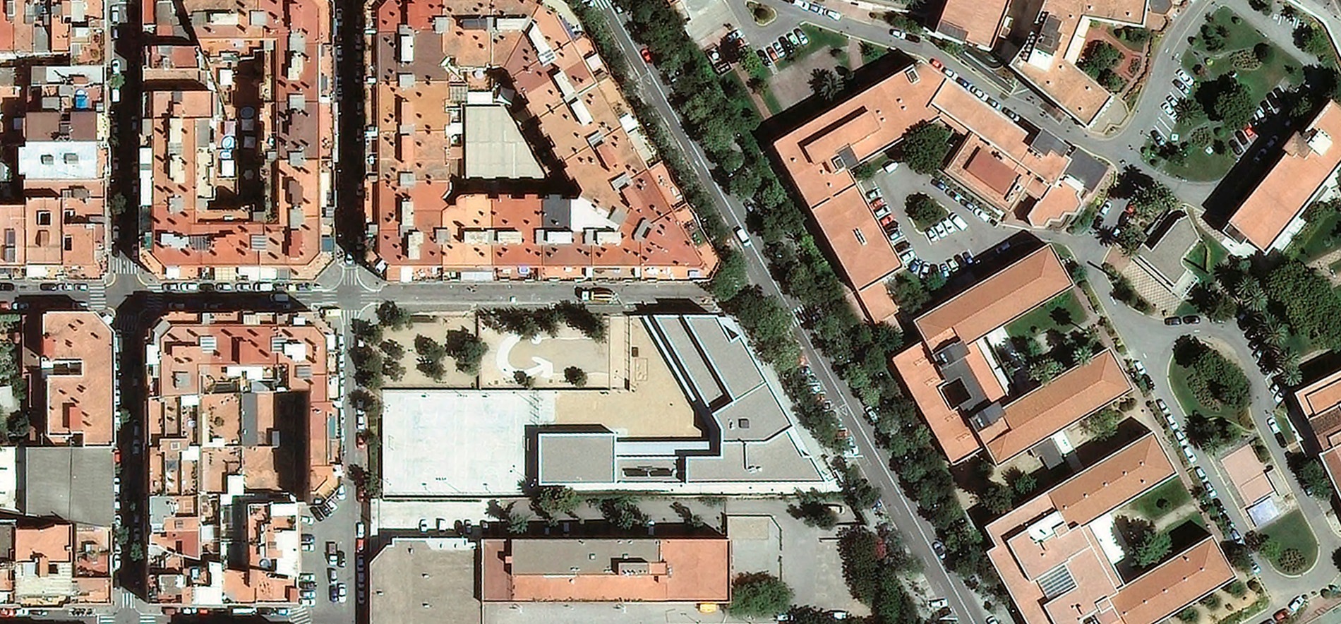
MagneticOne Municipal Technologies offers aerial photography services by means of manned and unmanned aerial vehicles.
Aerial photography is one of the most productive methods of collecting spatial information, the basis for creating topographical plans and maps, construction of 3D models of the land and location. Aerial photography allows you to obtain static images of a large segment of the surface of the earth in the form of an aerial photo. That is why it is irreplaceable during geographic and hydrographic exploration, land and forestry works, construction and agriculture. If traditional mapping photo shoot creates an image of the land gradually (“from point to the point”), the aerial photography uses aerial images that are fully automated.


