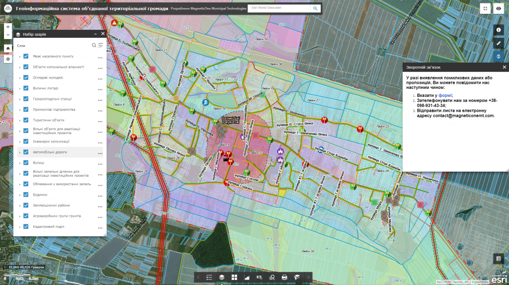
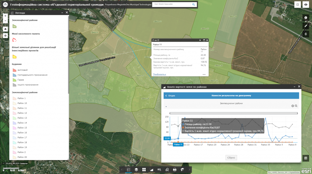
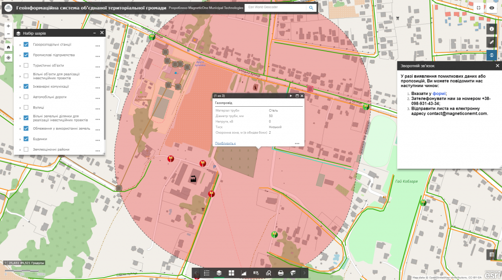
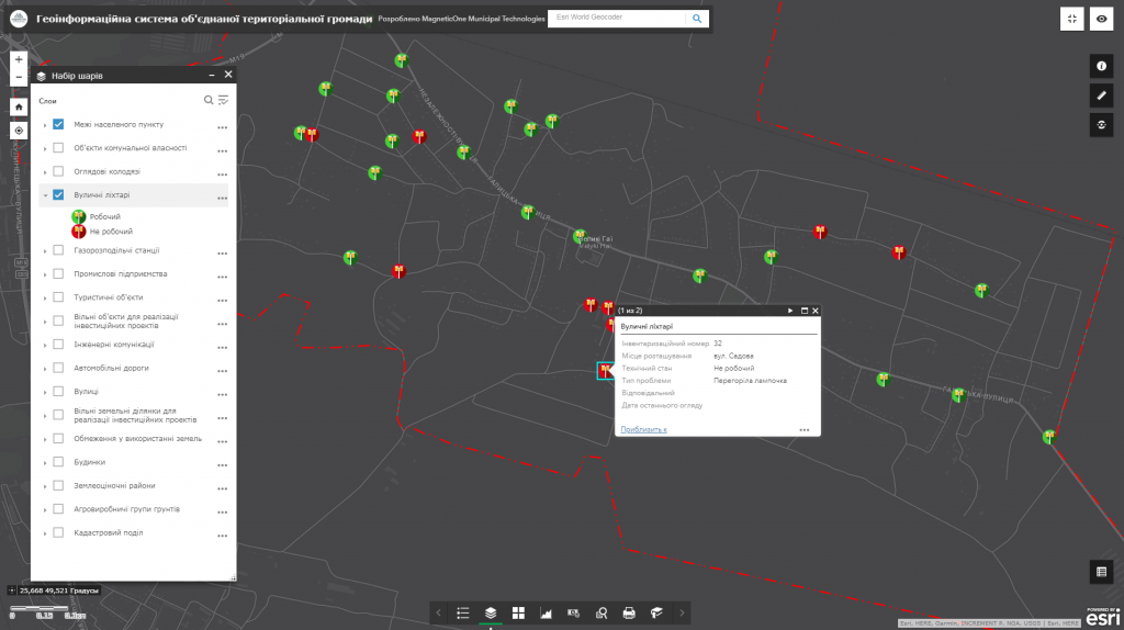
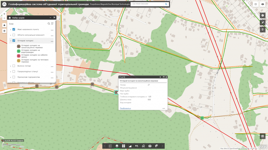
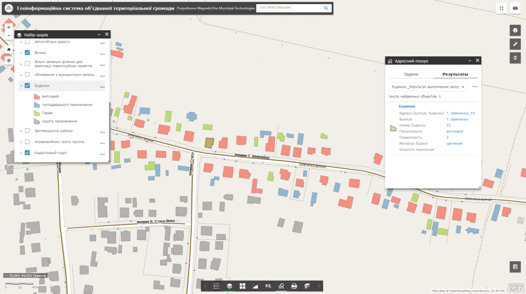
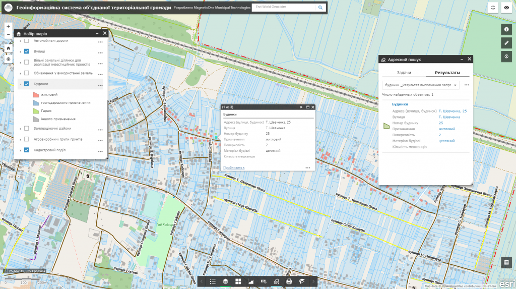
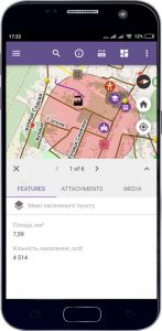
M1MT: Interactive map of territorial community – is an innovative solution developed by experts in cartography, the main task of which is to provide stable and comfortable management of land resources. Thanks to its flexible database, the electronic map is the most effective means for arranging a large amount of land use and cadastral information so it may substitute more than ten paper maps.
Functionalities of the map
- the fullest set of functions: map navigation, data editing, vector map layers management, spatial analysis, address search;
- for its operation the user does not need any specialized software or qualification of a cartographer – a web browser and an Internet connection would be enough;
- ease of search, quick update and database editing;
- constant operational readiness;
- protection of information from distortion and unauthorized access;
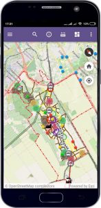
- managing vital community processes by means of a mobile phone;
- control and quality evaluation of services provided by operation staff and remote (mobile) workers (inspectors, auditors, land surveyors, social workers) by the management of the United Territorial Communities;
- monitoring and processing of citizens’ queries by means of an electronic query system.
