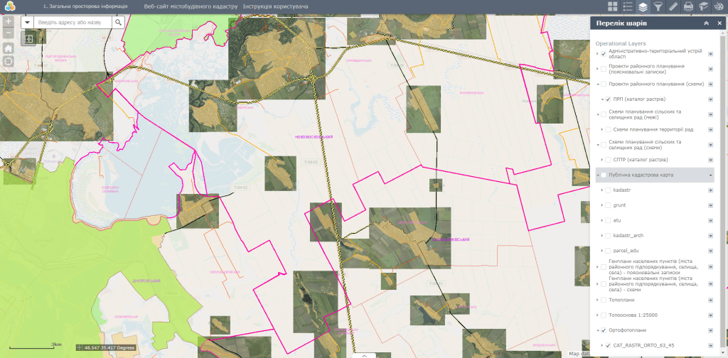
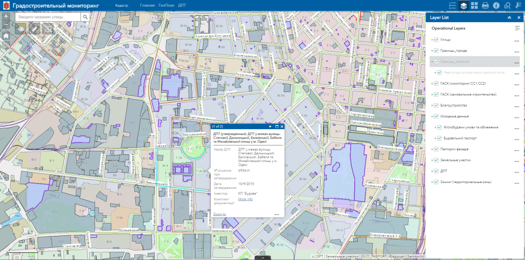
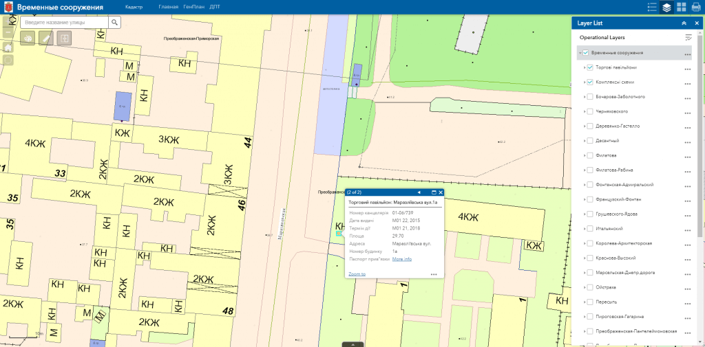
M1MT: Geoportal urban planning cadastre – cartographic Internet resource, which serves as a single point of access to a large number of information data sources with a system of tools for viewing and searching geographic information, its visualization, download and distribution. The main feature of the geoportal is its focus on working with large amounts of data to create specialized industry and thematic solutions in the field of urban planning and land cadastre, for the operational management of the development of the territory, determining the location of investment sites, monitoring the performance of government bodies, etc.
Features of geoportal urban planning cadastre:
- navigation on the map, data editing, operating with vector layers of the map, spatial analysis, address search;
- to view the information, the user does not need specialized software and a cartographer qualification, a web browser and an Internet connection are sufficient;
- easy search, quick update and edit the database;
- constant readiness of the resource for work, including from a mobile device (smartphone, tablet);
- protection of information from distortion and unauthorized access;
- possibility of multi-user access and group editing of the database.


