M1MT: Medium-sized city management system

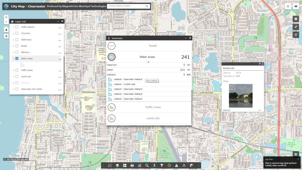
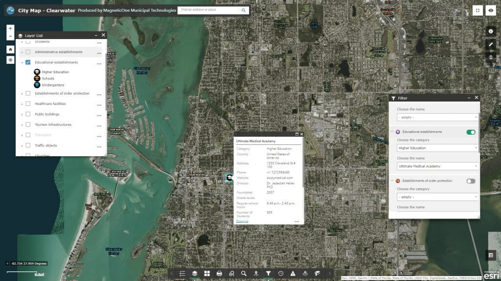
M1MT: Medium-sized city management system – is an innovative product designed to create opportunities for the evolution of the city, combining a strategic approach, technological advances in cartography, and the broad involvement of executive authorities and citizens in creating a new quality of life. Use the modern platform for efficient management of city infrastructure and spatial data to create a comfortable living environment, a sustainable, successful and prosperous future polis. M1MT: Medium-sized city management system allows each manager in the executive branch to make cost-effective decisions.

The main implementation mission of the M1MT: Medium-sized city management system – the transformation of the management of the city’s space, by introducing modern technologies into executive bodies – the geographic information system and the mobile app that is synchronized with it. Provide automation of utilities, improve the quality of life of the population, reduce costs and ensure the sustainable development of the city. A city managed by GIS, open to cooperation with investors, will become a standard for the organization of municipal governance.
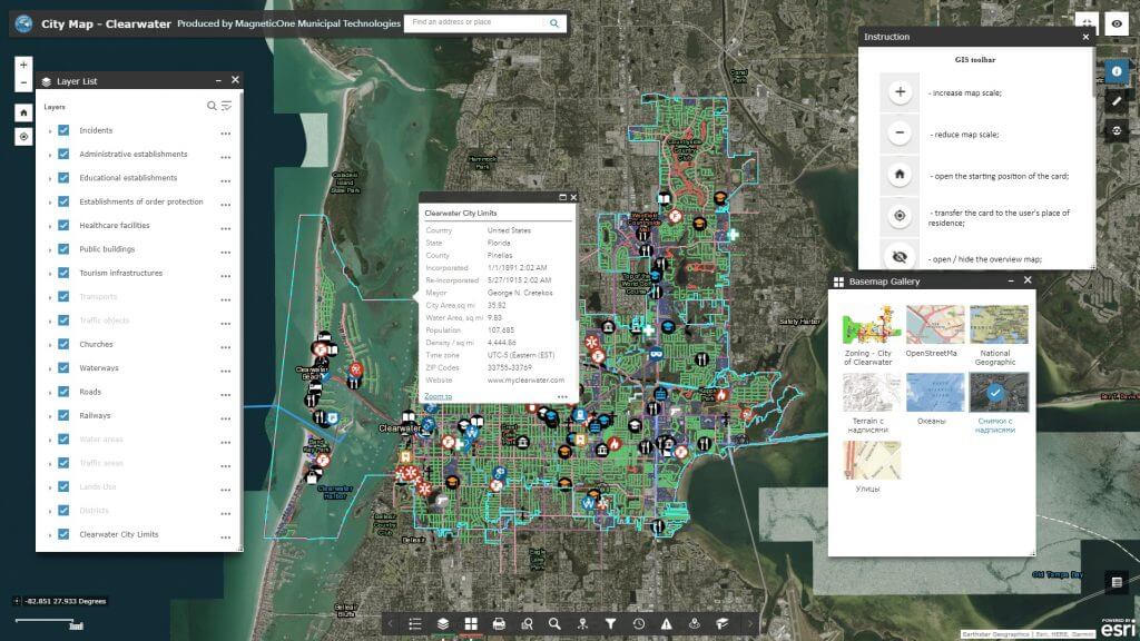
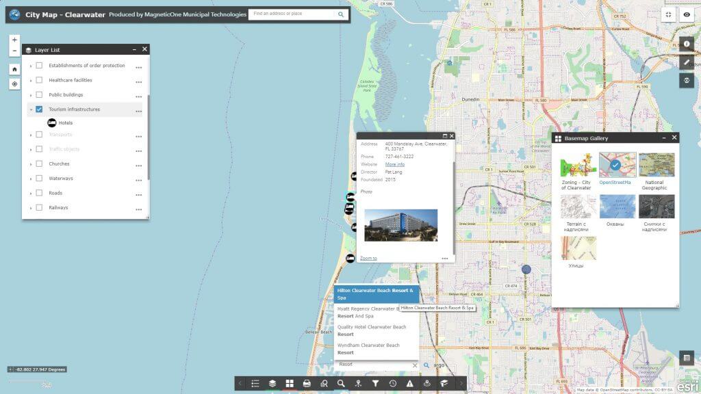
Optimize the work of the Department of Urban Development, Architecture and Capital Construction with M1MT: Medium-sized city management system

  • quickly update the map database of the city;
  • make convenient maintenance of urban cadastre (registers of urban conditions and restrictions, temporary buildings, building passports;
  • quickly obtain data on strategic urban planning;
  • monitor compliance with the rules of urban planning, land management and landscaping of the city;
  • promptly provide services for the selection, withdrawal, privatization, and provision of land for urban needs and the needs of citizens in accordance with the requirements of the law;
  • ensure publicity in the management of urban planning, joint problem solving of the city, increasing the comfort of living and improving the quality of the urban environment.

Use GIS to solve the problems of the Department of Land Resources and Environmental Protection

  • provide citizens with access to information on the state of the environment, the real estate market, transport and the provision of other reference and educational services;
  • efficiently manage land resources: quickly resolve territorial conflicts and illegal land grabbing, monitor landowners and land users;
  • automate the process of reporting, planning and forecasting the development of the territory;
  • keep up-to-date database of exceeding the maximum permissible concentrations of harmful substances;
  • display the dynamics of chemical contamination of soil, surface and groundwater, atmospheric air and vegetation with heavy metals, radionuclides, oil products, etc.;
  • monitor and control the development of adverse and dangerous geological and geomorphological processes (ravines, landslides, karst, surface subsidence, flooding, and others);
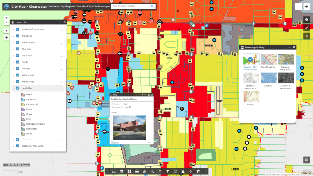
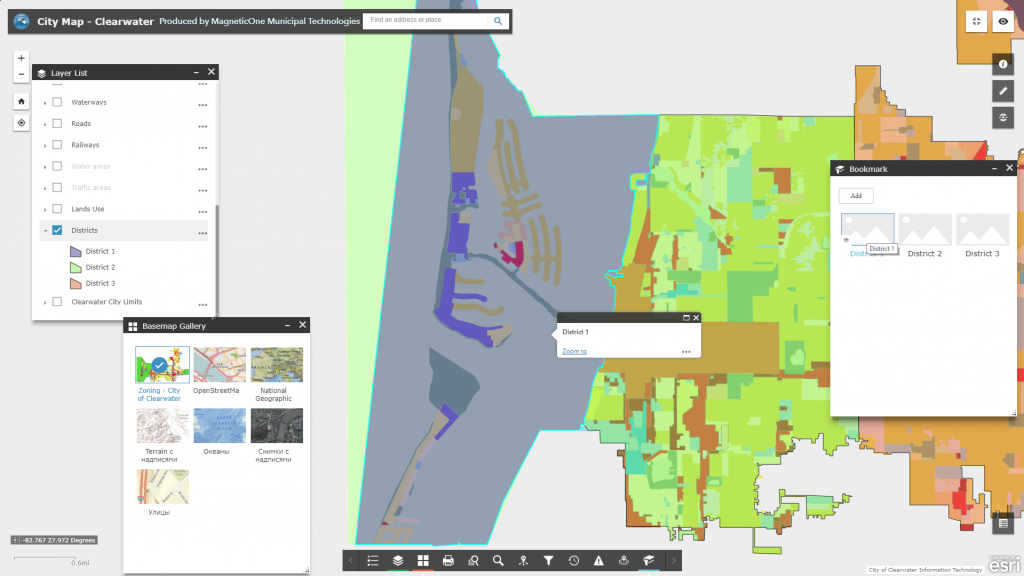
  • quickly obtain information on the zoning of the city (production and storage, industrial, residential, nature conservation areas, etc.);
  • obtain objective information on the ecological condition of the territory as surfaces based on multidimensional environmental information.

Automate the work of the department of emergency situations and civil protection of the population of the city

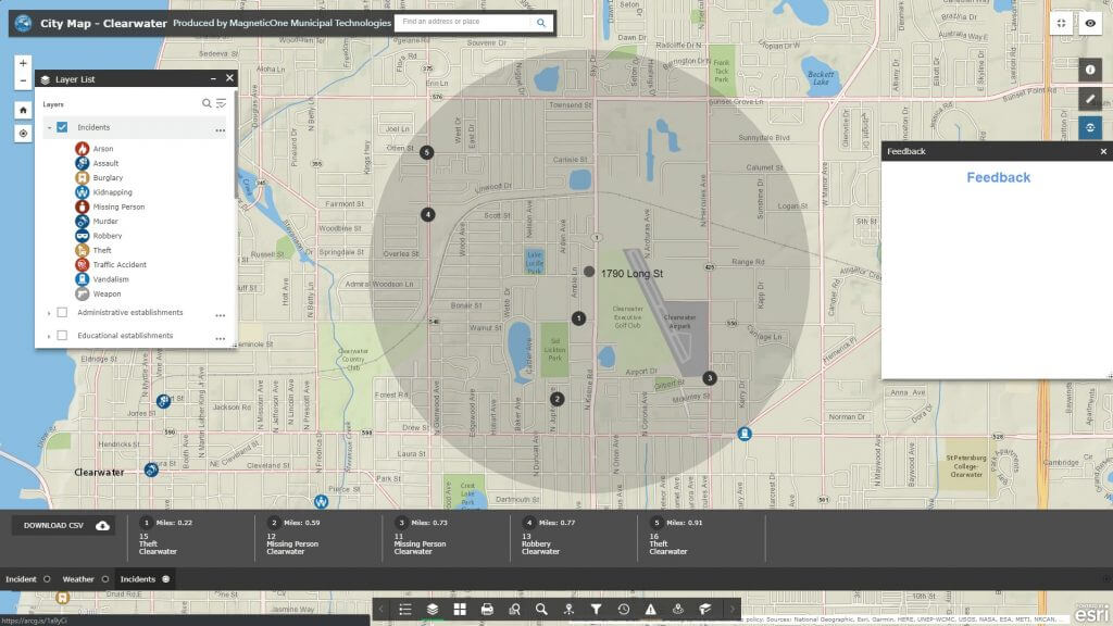
  • watch the urban territorial system of civil protection (points of public order, communications, shelters);
  • create spatial databases of natural and man-made impacts (floods, fires, etc.), dangerous from the point of view of emergency facilities (dams, gas and oil storages, chemical plants, etc.);
  • get real-time spatial information about emergency situations;
  • determine the shortest routes of movement of emergency services and emergency response forces, evacuation of the population;
  • determine the required number of forces and means, as well as produce the strategy and tactics of assistance;
  • predict the occurrence of emergency situations of man-made and natural nature;
  • detect the inconsistency of the state of equipment and tools that directly affect the safety of the population (for example, confirmation of compliance with the safety of buildings, structures, fire safety requirements, the condition of fire hydrants) using the audit subsystem synchronized with the GIS.

Achieve efficiency in the management of transport and communications

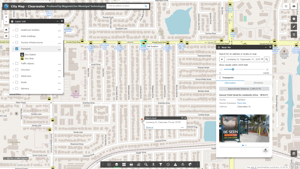
  • comprehensively analyze the road network and the state of the road surface due to the inclusion in the display of the parameters of flatness, strength, adhesion of the roadway, the geometric characteristics of the roads (number of lanes for traffic, the width of traffic, roadway and shoulder, etc.);
  • get a flexible platform for easy maintenance of the cartographic base and inventory of engineering networks, automate maintenance of technical documentation;
  • get real-time analytical and statistical information about traffic accidents, accident centers, and other road hazards;
  • carry out the analysis of the existing and planning of potential service objects using field measurements previously recorded in the GIS, design and working documentation, control and executive survey;
  • provide online access, administration and updating of planning and cartographic data, orthophoto, digital and electronic maps;
  • provide a single point of access for citizens to information about the state of roads and related infrastructure (display of repair, reconstruction and upgrading sites).

Expected Result

  • saving of city resources as a result of using modern technologies;
  • improving the quality of public services and the speed of their provision;
  • increasing the operativeness and effectiveness of responding to situations in the city;
  • economically sound management decisions for the development of the territory of a medium-sized city;
  • management of comfort and safety of residents of the city;
  • transparency and accountability management in the city.

Services to be provided prior to GIS development

  • Consulting
  • Scanning of paper documents and maps
  • Georeferencing of cartographic materials
  • Digitization
  • Provisioning of interactive map database
Коротка інформація

[contact-form-7 id=”10714″ title=”Форма партнерства”]


×