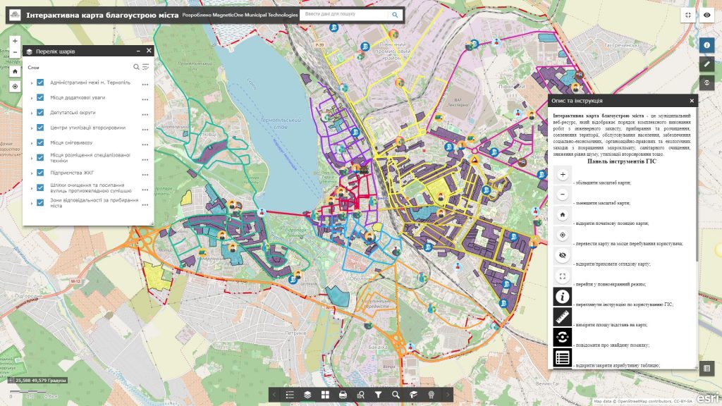
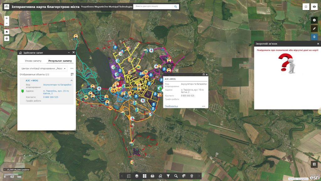
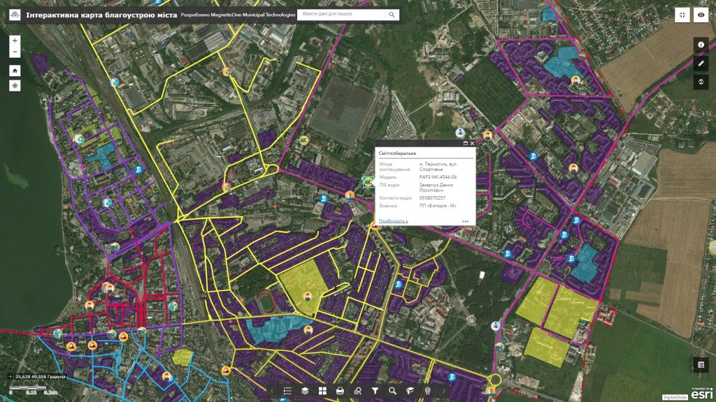
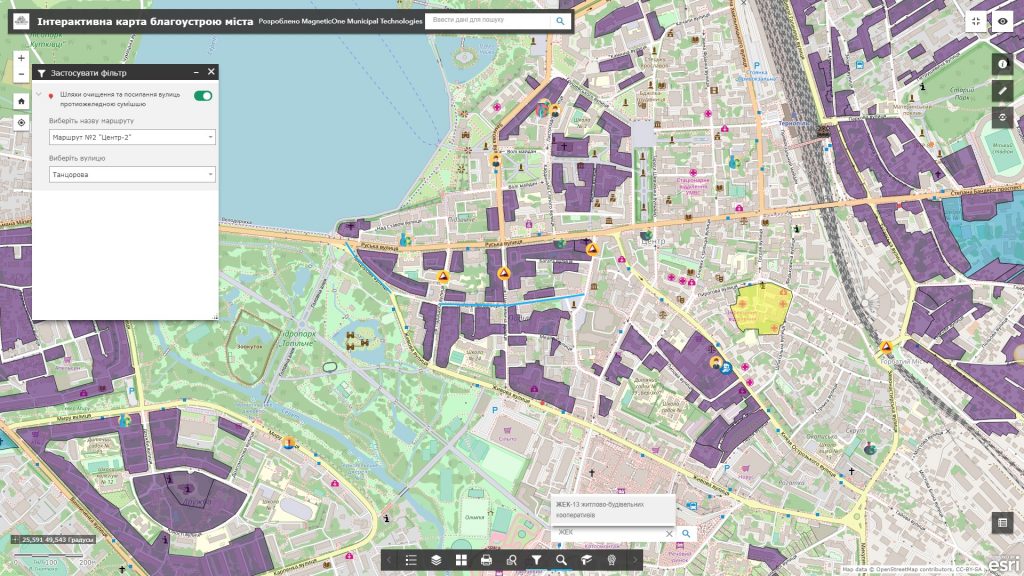
Address the issues of managing environmental safety of the city, reduce environmental risks and ensure ecological balance on the basis of the latest achievements of cartography and geoinformation technologies. Display information on the environmental status of the atmospheric air, soils, aquatoria, geological and hydrogeological situation, and environmental measures aimed at improving environmental situation of the city with a geographic information system and a synced mobile app, a subsystem of electronic queries of the citizens and a platform for their operational analysis.
The main task of the GIS is environmental safety of the city for administrative authorities of city administration is to provide the function of information support for decision-making in the field of environmental safety of life of the citizens. Experience the advantages of implementing the solution through the system of electronic queries of the citizens: mark on the electronic map places of unauthorized garbage collection, discharge of sewage into the river, cutting of trees, absence of garbage containers, etc. Get up-to-date data on existing urban issues and check the process of their addressing.


