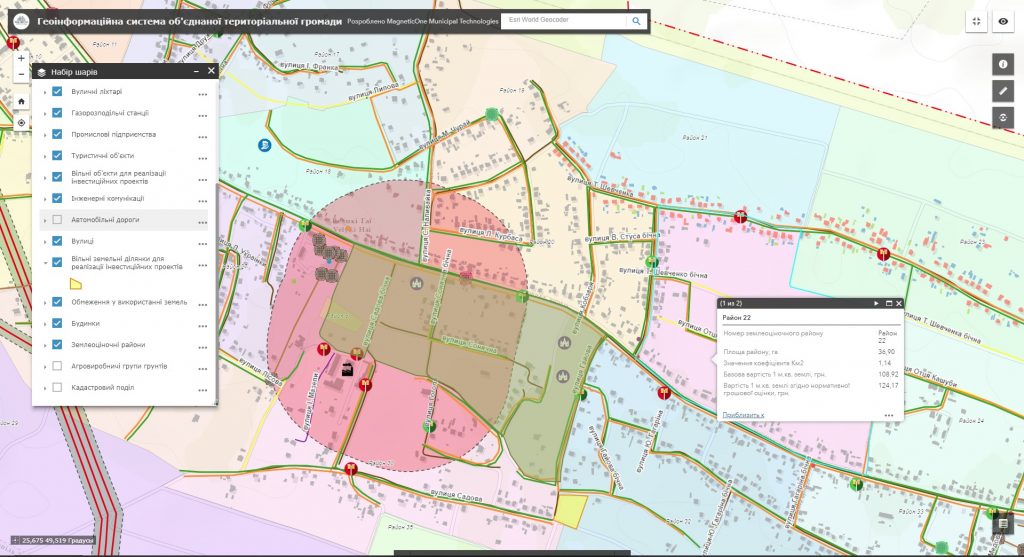
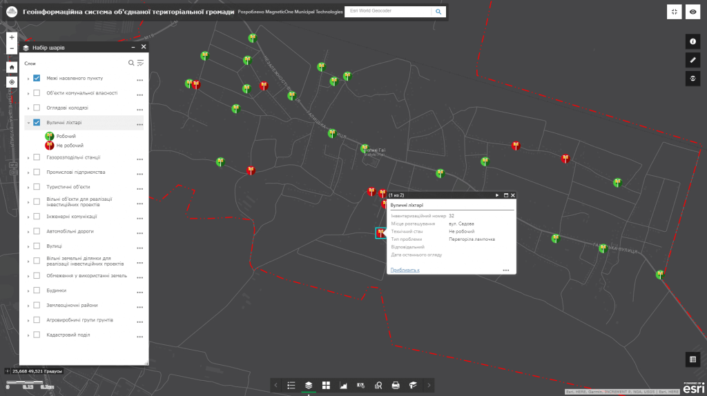
The more accurate and relevant information the leader has available, the easier it will be to make reasoned solutions and to carry out effective actions. Qualitative management of available resources (labor, land, economic, etc.), development planning and operational management of all spheres of life of the United territorial community (UTC) is achieved by means of an automated system for collecting, storing and analyzing spatial information. Implement the geographic information system and mobile mapping app to improve the efficiency of addressing issues of the rural area.
Advantages of using GIS
- the information stored in the GIS allows to make prompt and reasoned solutions in the field of land usage;
- the analyzed, structured and geocoded (spatially bound) information allows to get the necessary maps, lists, extracts (schemes of modern usage of lands of the UTC, etc.), to find opportunities to enrich the budget;
- full and up-to-date information, concentrated in GIS, reduces the number of appeals to authorities, and consequently reduces the corruption component of social relations;
- the information collected on the single GIS resource is protected from duplication and manipulation, assists in settlement of land disputes, which will be considered by the management of the United territorial communities.

