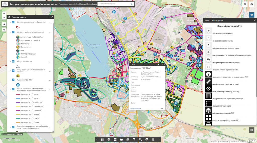
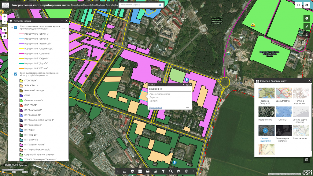
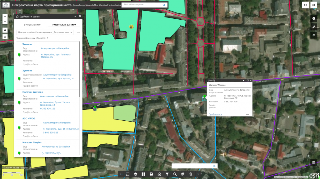
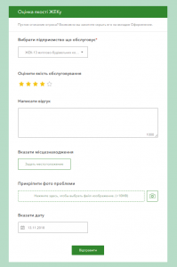
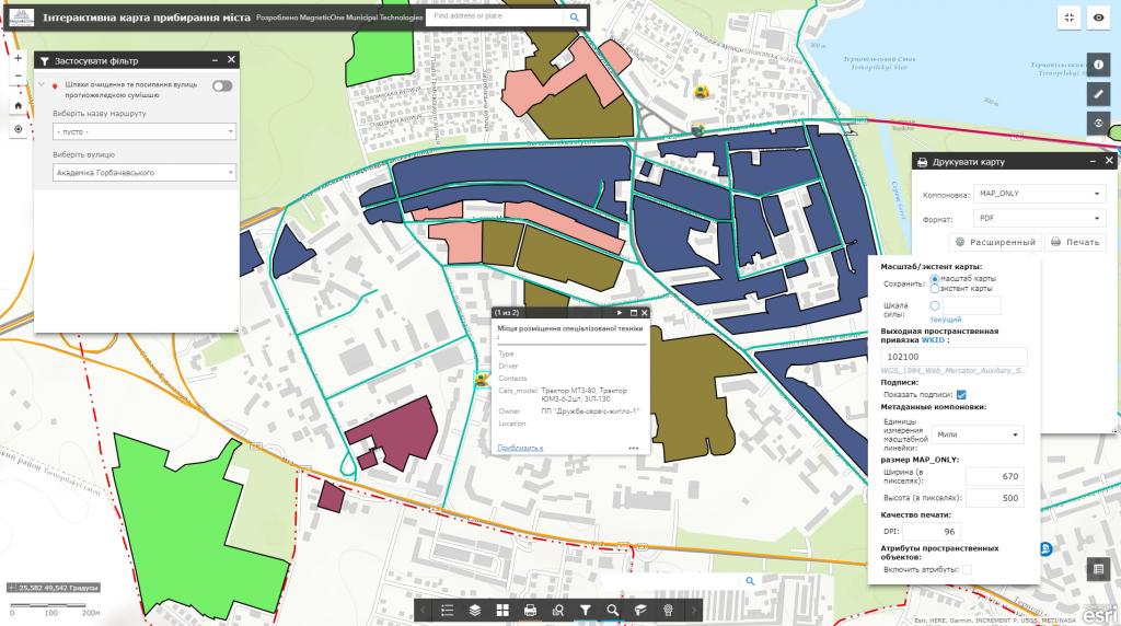
M1MT: Geoinformation system of city audit is the first and the most important stage of every city’s life, which starts implementing open data policy. The map is intended to inventory all problematic areas of the municipality (potholes on roads, lack of pedestrian crossings and inspection wells hatches, places of unauthorized waste storage, cutting trees, etc.) by means of mobile application equipped with a powerful geographic information platform. The mobile app survey system local authorities to release information about activities of city communal services and receive feedback from citizens on the quality of provided services in the user-friendly form (for auditors, inspectors and citizens).
Features of the platform
- an intuitive system of queries (surveys) of citizens on improving the urban environment and reporting the problem;
- an option to provide a photo-report of the problem, in addition to the query, to pass for processing exact coordinates of the incident, and evaluate the urgency of the solution;
- monitoring of existing queries of citizens in real time on an electronic map;
- filtering auditors reports according to the specifics of the problem (maintenance of housing, roads, sidewalks, streets, city lighting, traffic lights and traffic signs, green areas and city plantations, etc.), the urgency of its solution;
- the user does not need special software to work, it is enough to have a web browser and Internet connection;
- 24 hours a day opportunity to leave a message about the problem, constant readiness of the resource for work;
- monitoring and prompt response to incidents, ability to process large volumes of queries, collect data on problems and monitor their solution.
