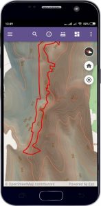
M1MT: Geoinformation system of the conservation area

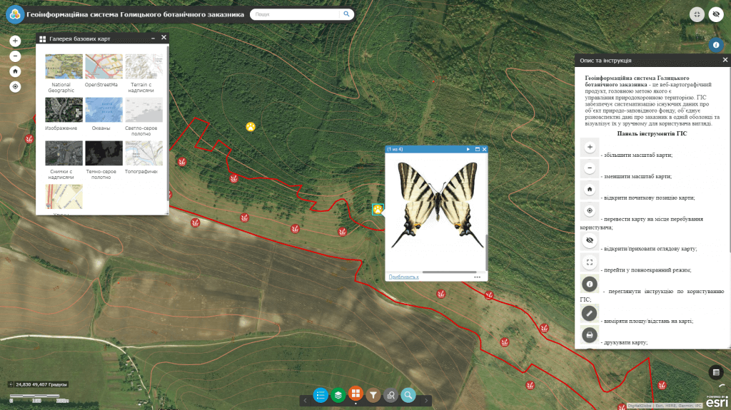
M1MT: Geoinformation system of the conservation area – is a modern tool for managing the development of a heritage object and decision-making support in the form of a multi-layered electronic map. Geoinformation system is the only entry point to the information about the object of the nature reserve fund; it provides experts with relevant spatial data, contributes to the development of environmentally-oriented tourism, informing citizens and popularization of eco-educational knowledge, as well as conducting scientific research in the institutions of the nature reserve fund. Use the feature of quick access to spatial information by means of cartographic apps – a geoinformation system of the conservation area and a synced mobile app.

Geoinformation system features

  • the fullest possible set of functions: map navigation, data editing, map vector layers operating, spatial analysis, address search;
  • the user does not need any specialized software and cartographer qualifications for work as all you need is a web browser and internet connection;
  • ease of search, quick update and database editing;
  • constant readiness for operation;
  • protection of information from distortion and unauthorized access;
  • multi-user access mode and group database editing.
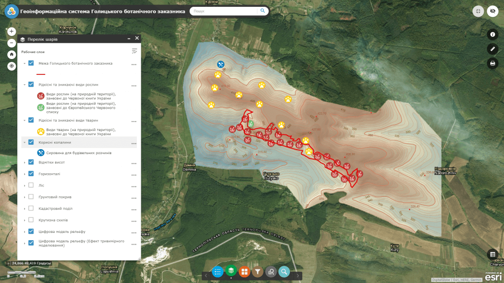
Геоінформаційна система природоохоронної території

GIS of conservation area is a system of necessary and reliable information on the natural, scientific, legal and other characteristics of the territories of the nature reserve fund

  • get information about the legal status, affiliation, regulation, geographical position, quantitative and qualitative characteristics of the conservation area and objects, their environmental, scientific, educational, disciplinary, recreational and other value;
  • systematize existing data on the heritage object, combine various data on conservation area within a map and visualize them in a user-friendly form;
  • use the advantages of an automated search for information and a detailed view of soil and vegetation data regarding conservation areas with popular cartographic resources (Google Maps, OpenStreetMap);
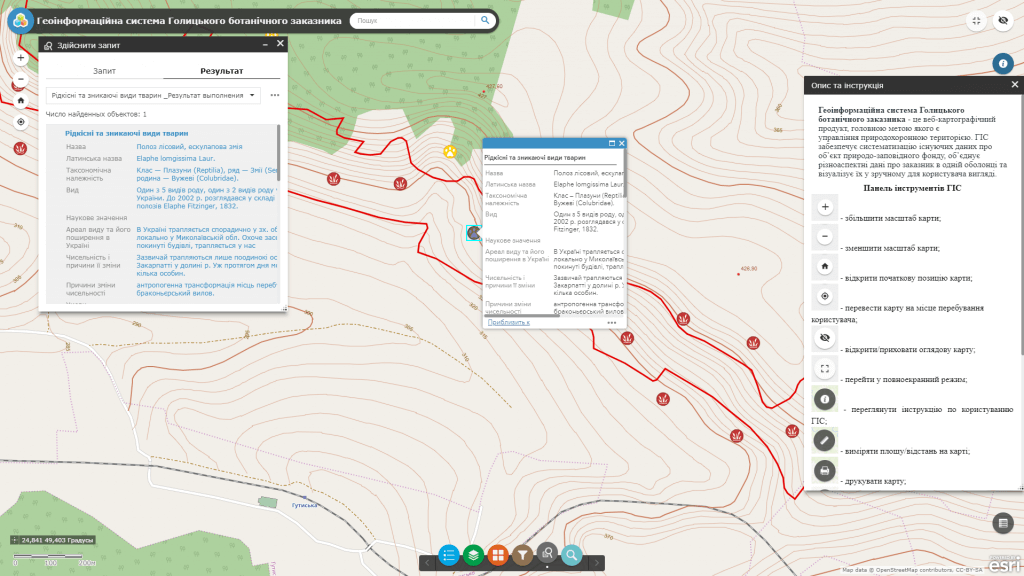
  • visualize the content of the GIS database, create custom queries and thematic maps combinations as requested by the system user;
  • analyze already existing and plan potential objects of the nature reserve fund using previously entered GIS information on field measurements, design and working documentation, control and executive photo shooting;
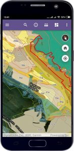
  • use the advantages of operational access, administration and updating the map data, orthophoto maps, digital and electronic maps, including in field conditions on a real-time basis by means of mobile app;
  • provide informational support for state bodies, interested enterprises, institutions and organizations with relevant information necessary to address the issues of sustainable development of the heritage objects;
  • provide public access to information on environmental issues and decision making.

Typical structure of the geoinformation system

  • database of cartographic information (display of topographic maps, digital model of terrain, public cadastral map of Ukraine, orthophotomaps, etc.);
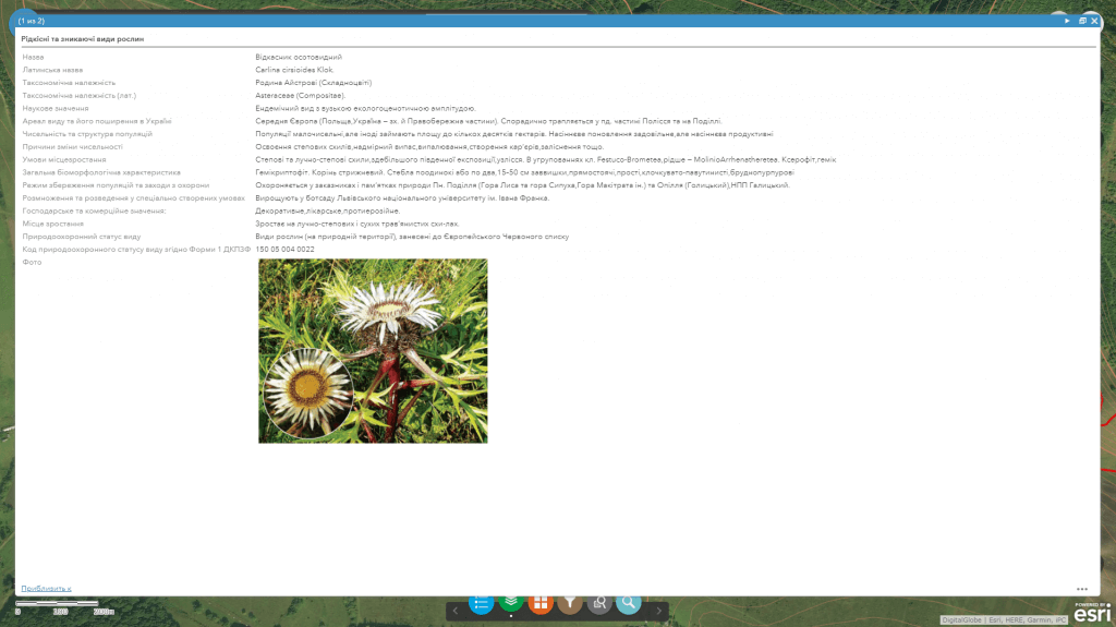
  • subsystem of the register of endangered and rare species of plants and animals;
  • subsystem displaying vegetation and soil cover;
  • subsystem of information search by Form 4 of the state cadastre of nature reserve fund;
  • subsystem of nature reserve fund object audit, carried out by mobile workers – inspectors (fire audit, technological safety audit, environmental audit).

Requirements, cost, and terms of the order

The list of documents and materials necessary for the development of the geoinformation system will be agreed individually. The cost of product development is based on a number of parameters: software, number of editors and entry points, thematic layers of the map, branching out the database, as well as individual wishes of the customer. The terms for web map development will be agreed additionally with regard to the ordered functionality.

Services to be provided prior to GIS development

  • Consulting
  • Scanning of paper documents and maps
  • Georeferencing of cartographic materials
  • Digitization
  • Provisioning of interactive map database
Коротка інформація

[contact-form-7 id=”10714″ title=”Форма партнерства”]


×