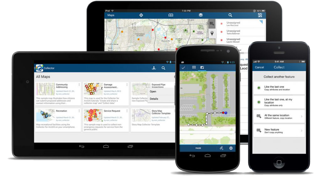
The company MagneticOne Municipal Technologies provides services on the creation of a mobile mapping app that runs on operating systems: Android, IOS, Windows.
A mobile mapping app provides users with access to corporate geographic information (electronic map and spatial data) in the field. It allows employees of relevant government institutions and citizens receive current information on their mobile phone or tablet, accelerating analysis, displaying and decision making by using updated, more accurate spatial data.
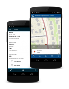
The application tools make it possible to search for the necessary data, zoom the found object (places of repair, incident, etc.), estimate the distance to the object or determine the direction of its search. Among other features of the mapping application is displaying on the screen of mobile device descriptive characteristics (including photos, drawings and diagrams) of the relevant object (engineering communications, land plots, communal property, investment projects, etc.).


