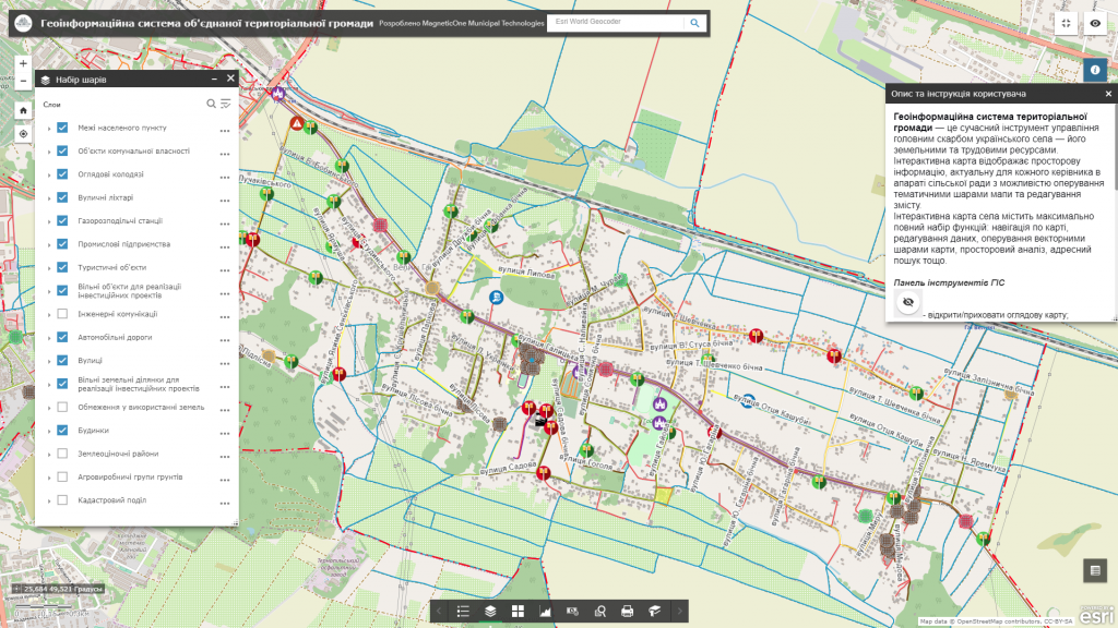
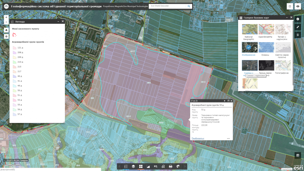
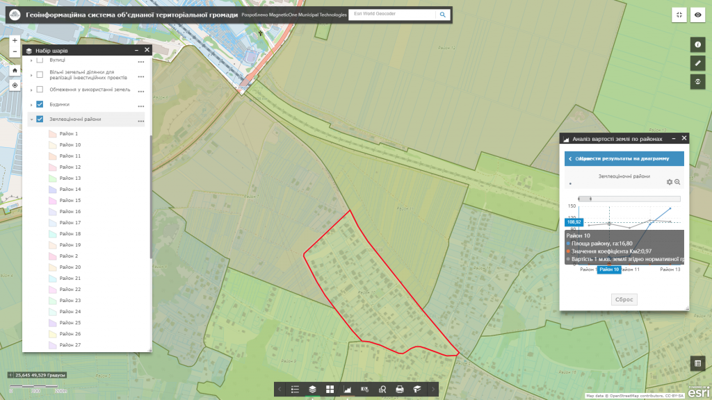
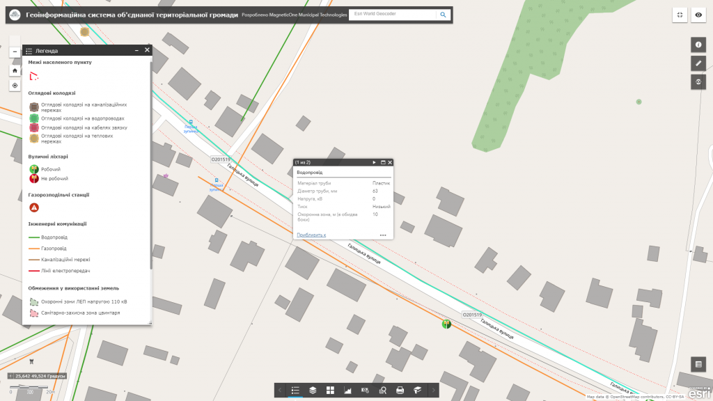
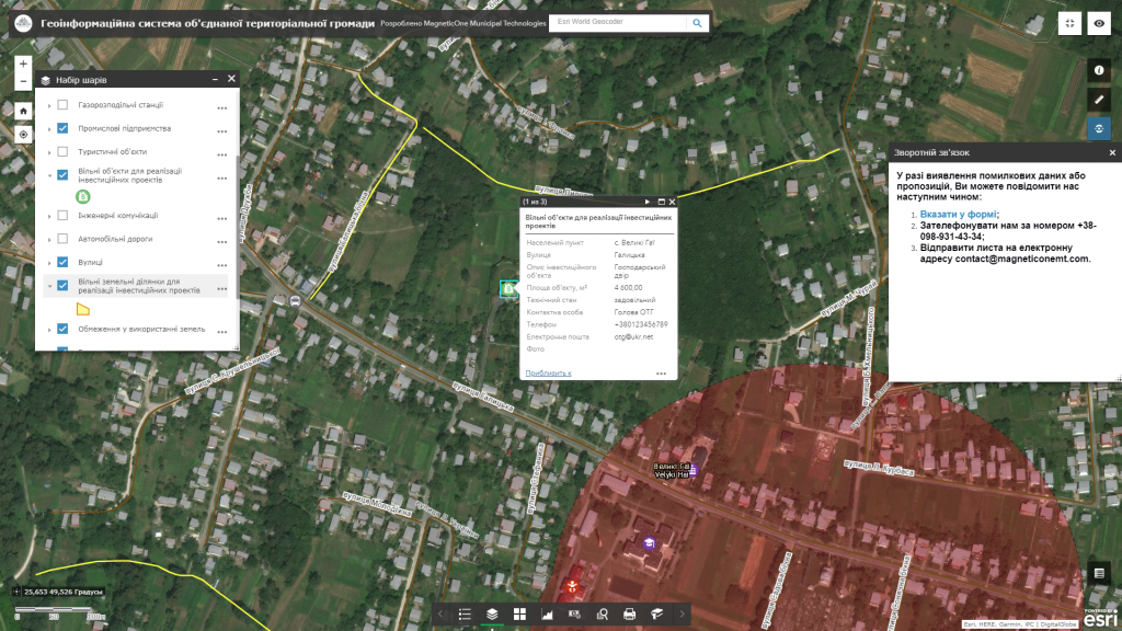
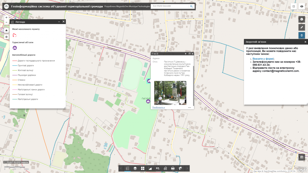
M1MT: Village management is a qualitatively new approach to managing the main wealth of the Ukrainian village – it’s land and labor resources. Solve a set of tasks on collecting, storing, displaying and analyzing spatial information for effective management solutions display by means of geoinformation technologies. Use the feature of quick access to multi-dimensional spatial information about the countryside through mapping apps – geoinformation system and synced mobile app. Village management allows each manager from the village council or the territorial community to make economically justified decisions.
M1MT: Village management
M1MT: Village management for the village and head of the territorial community
- keep current data on the administrative, household and industrial infrastructure of the village (by map layers are represented institutions of education, culture, medicine, communal property, tourism, investment projects, etc.);
- get informational support and quick access to the spatial database and necessary land management documentation (site plan, extracts, cadastral plans, etc.);
- facilitate and increase efficiency of the decision-making process in the field of agriculture and construction (selection of land for transfer of the ownership, residential development, etc.);
- plan activities on maintenance and repair of roads and administrative buildings (the interactive map contains information on carried out and planned road repair, its cost, etc.);
- keep a database of engineering networks, prevent emergencies (the map displays underground engineering communications with indication of their technical characteristics);
- adhere to the building regulations (the electronic map displays security zones around engineering networks);
- monitor the adverse physical and geographical processes: development of ravines, road sweeping (snow dams), flooding, especially dangerous sections of roads (highways, bridges), etc.
M1MT: Village management increases productivity of the land surveyor expert
- manage the entire mapping database of the settlement. The basis for making successful decisions are vector maps of territory development, cartograms of agro-industrial groups of soils, normative monetary valuation, the general layout of the settlement, etc.;
- analyze and monitor the structure of land usage, its dynamics, threats and risks. Separate thematic layers of GIS illustrate information on the distribution of land by owners and forms of ownership, land users, plots and types of economic activity;
- о promptly evaluate the quality of soils, their potential yield, agroecological state, degradation processes, and long-term changes in these parameters. The GIS reflects the classification of agricultural lands, nature of the soil (including especially valuable soils) as for capacity of the humus horizon, humus content, granulometric composition, etc.;
- analyze the effectiveness of farming on the basis of automated field history, forecast agro-technical measures (soil remediation, soil conservation, crop rotation).
Approximate set of layers
- boundaries of the settlement;
- land estimation regions (with their area, Km2 coefficient, base price and land value taking into account normative monetary valuation);
- agricultural groups of soils (a type of soil and its characteristics);
- engineering communications: power lines, gas pipelines, water pipes, sewage and heating systems, underground cables and inspection wells for their maintenance with the indication of their type, technical characteristics (material and diameter of pipes, depth of inspection wells, etc.);
- restrictions on land usage (around and along engineering networks, sanitary, sanitary and protective, water protection zones, etc.);
- address directory of streets and houses (names of streets, house numbers);
- public buildings (administrative buildings, social housing infrastructure, industrial objects, public bus stops, etc.);
- investment objects and offers (free production areas, free land plots, investment projects);
- tourism, historic-architectural and other objects;
- site plan and orthophotoplan of the settlement, as well as other cartographic materials (schemes, zoning plan, etc.).
