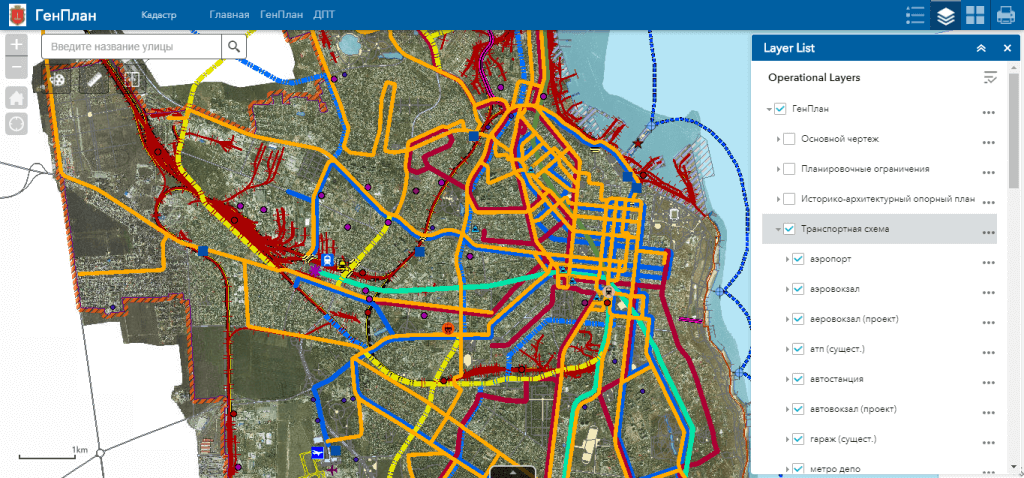
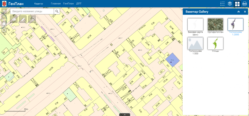
M1MT Interactive master plan of the city – is an innovative product of MagneticOne Municipal Technologies, the main task of which is the observance of the development strategy of the city. The interactive master plan is designed to display and implement the long-term policy of the local government in the use and development of the urban area.
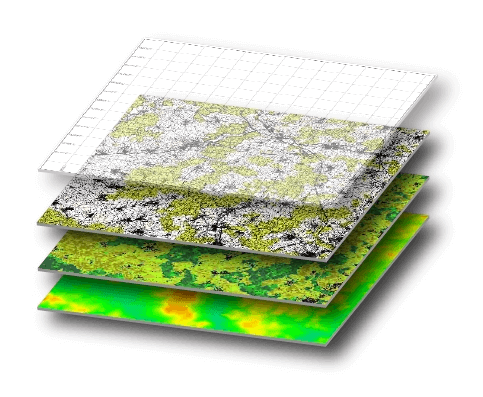
An interactive master plan of the city allows you to replace more than a dozen of paper city-planning cartographic materials with the ability to quickly access and analyze their content. Among other benefits of the product is the accessibility to the public, which ensures transparency in the questions of the effectiveness of the representation of the interests of city residents by the relevant authorities or local government. The functionality of the interactive master plan of the city provides for navigation, data editing, operating with vector layers and cartographic basis, spatial analysis, address search, and etc. To work with an interactive master plan, the user does not need specialized software and qualifications of a GIS specialist, a web browser and Internet connection are sufficient.
Use the ability to quickly access information through the map application – geographic information system and mobile app synchronized with it.


