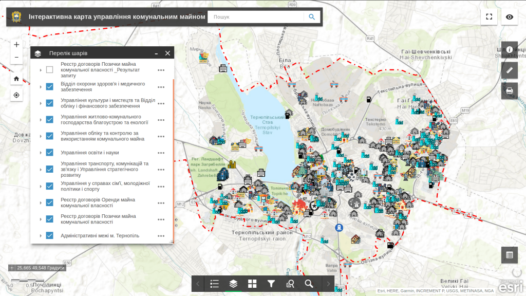
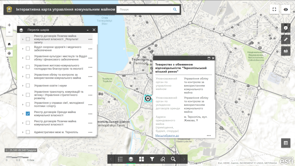
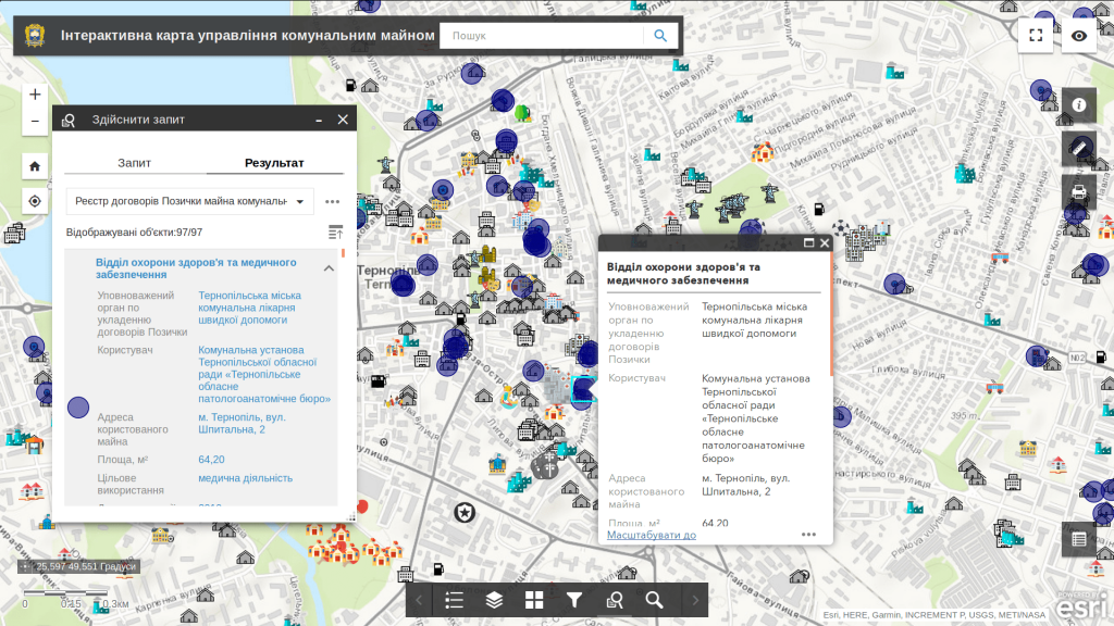
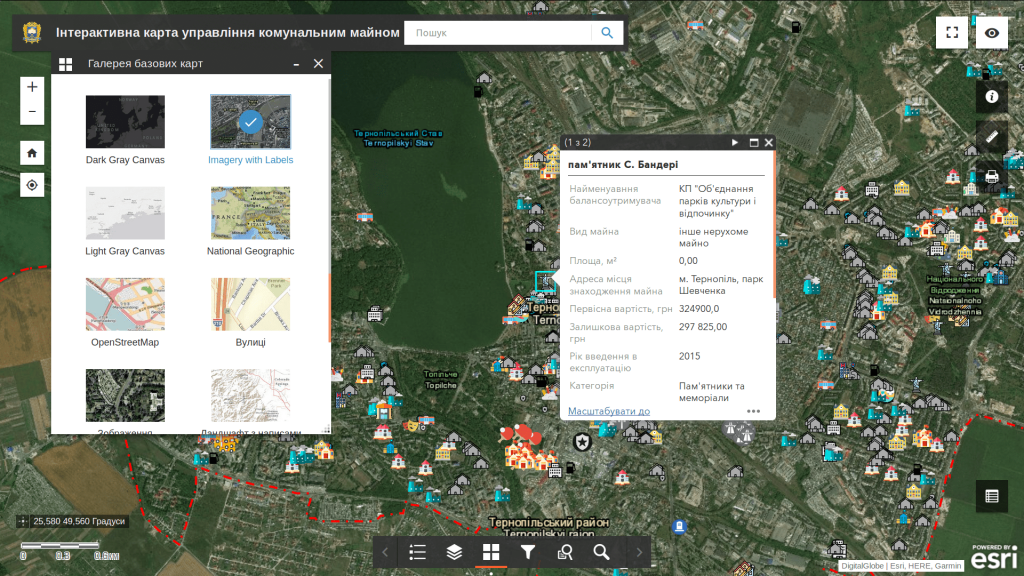
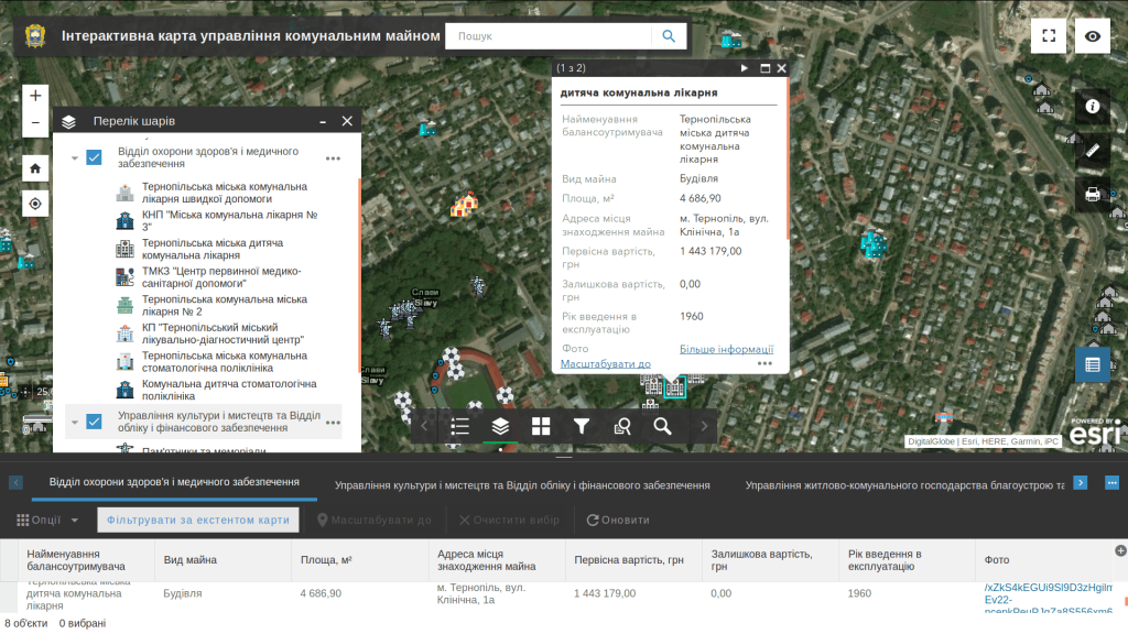
M1MT: Interactive map of communal property management is an automated mapping system for collecting, recording, storing, processing, and displaying information on the communal property of the city or village community. A web map is a laconic tool for organizing a large amount of spatial information and helps to increase the efficiency of communal property usage. Get advantages of quick access to information by using mapping applications – the geoinformation system and a synced mobile application.
Features of the interactive map
The map database contains information about the founders and authority in charge of communal property objects:
- state of privatization;
- legal state;
- strategic importance, financial (accounting) and statistical data, information about branches, departments, representative offices and other separated divisions;
- area of the land plots and areas for real estate development;
- type, name and value of the property; terms of a lease, etc.
The above-mentioned information may be additionally supplied with photos, diagrams and official documents.
