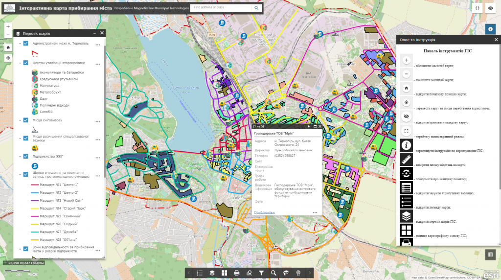
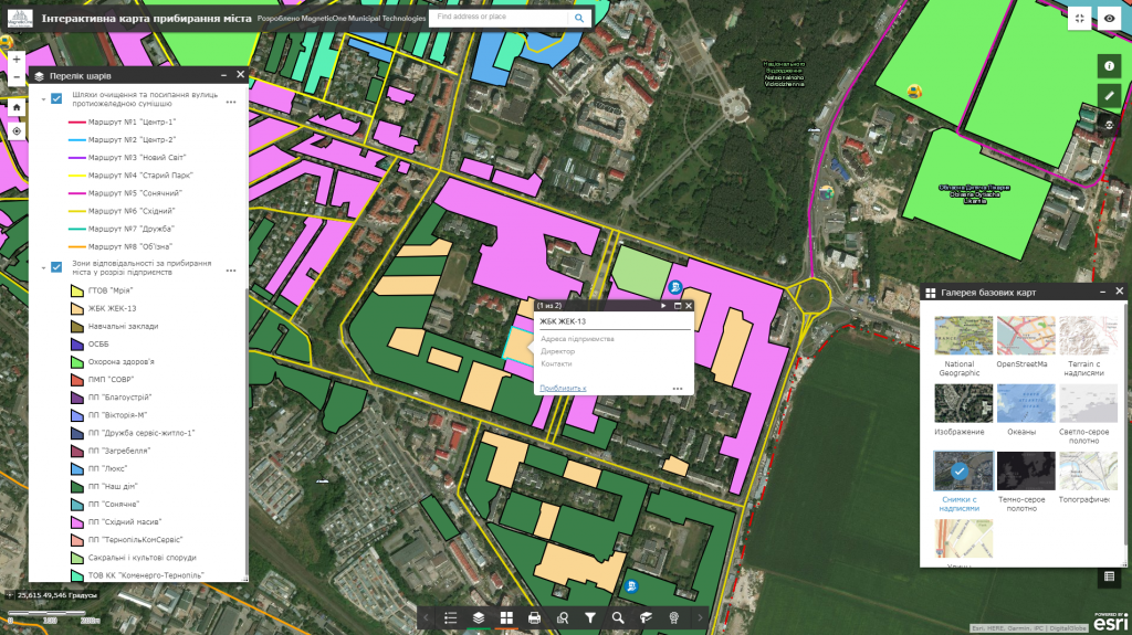
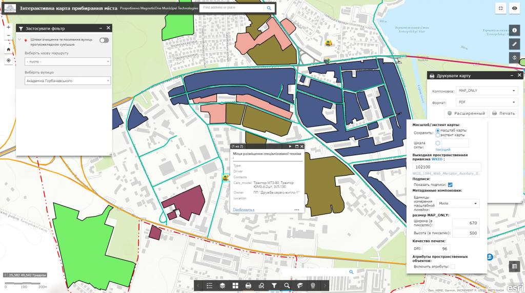
M1MT: Interactive map of amenities – is a municipal web resource displaying procedure for complex execution of works on engineering protection, cleaning and cleanup, landscaping the territory, public service, provision of social and economic, organizational and legal, as well as environmental measures for improvement of microclimate, sanitation, noise reduction, utilization of recyclable materials, etc. The interactive map is a control tool for observance and implementation of local programs as well as the implementation of amenities in the city.
Functionalities of the interactive map
- informing the public about the obligations of participants regarding maintaining cleanliness and order in the city;
- displaying a network of profile services which will carry out maintenance and cleaning of the city;
- navigating through the map, zooming; connecting and disconnecting data to the display set;
- connecting and disconnecting data to the display set;
- attachment of space images for display;
- display of data and detailed reference information on a separate object;
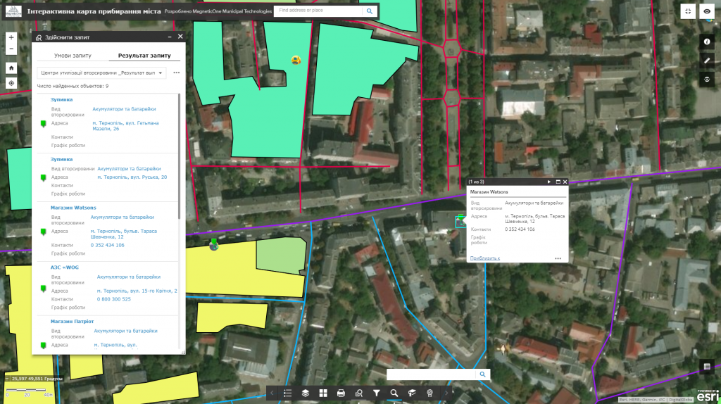
- implementation of spatial and attributive queries, search capability;
- management and monitoring of city cleaning via mobile phone;
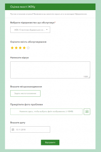
- evaluation of public services quality by means of a query system.
