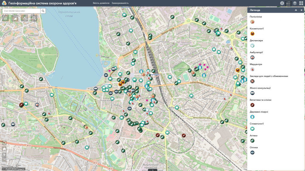
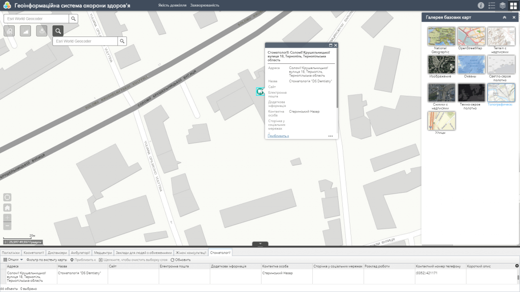
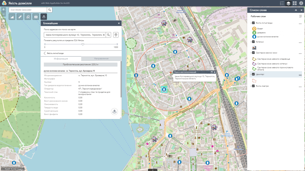
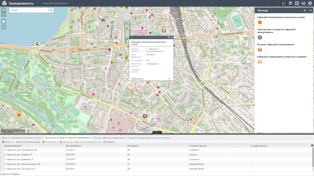
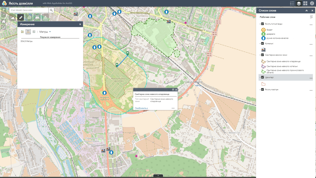
Health care geoinformation system (GIS) – is a specialized medical cartographic and analytical resource designed to collect, store, accumulate, analyze and display information on the spread of diseases, the infrastructure of health care facilities, indicators of the natural and socio-economic environment which affect the health of the population of a particular region.
Use GIS to track the results of the implementation of planned actions, comprehensive analysis of medical data sets for optimal and more adapted to the specific situation of resource allocation in accordance with the current sanitary and epidemiological situation.
Web map features
- the most complete set of functions: map navigation, data editing, map vector layers, spatial analysis, address search;
- easy search (including group search by a certain parameter), online update and database editing;
- a wide range of analytical capabilities (display of information in the form of graphs, spatial and statistical analysis);
- constant readiness for work;
- protection of information from distortion and unauthorized access;
- the possibility of multi-user access and group editing of the database, including in the field with a smartphone;
- monitoring the medical geographical and sanitary-epidemiological situation on a mobile device.
