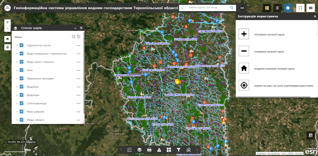
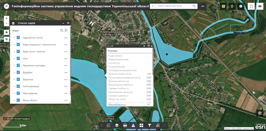
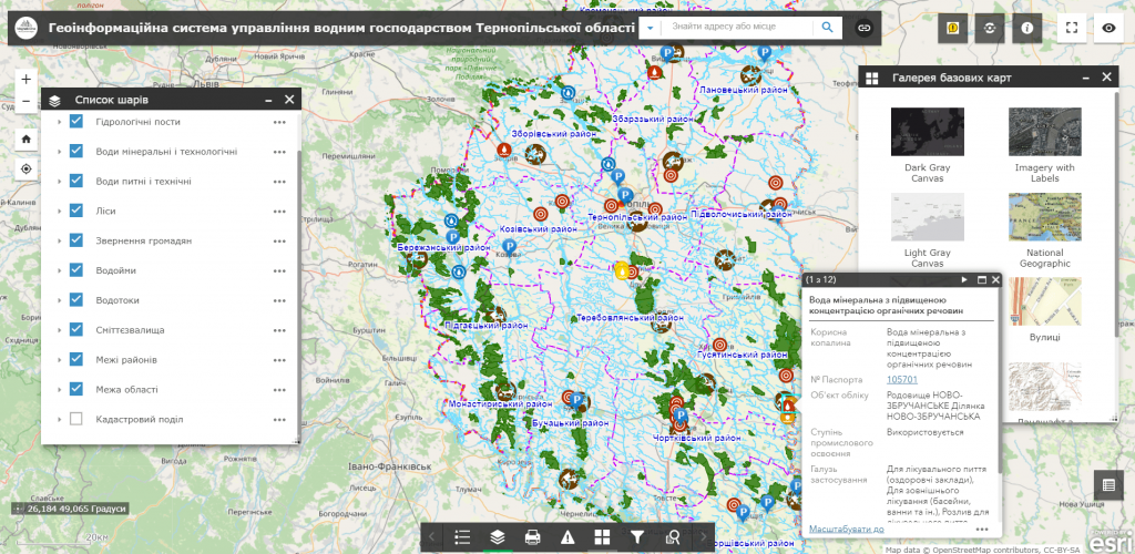
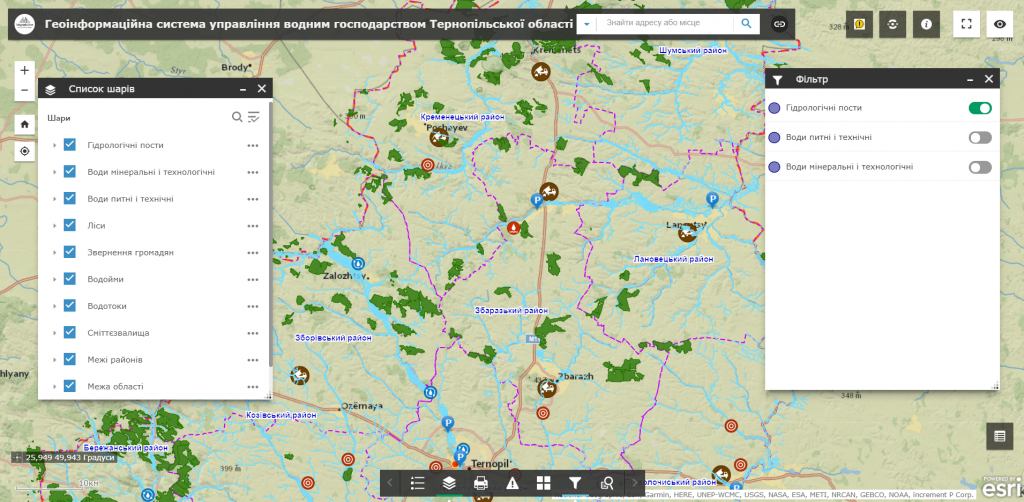
M1MT: GIS of river system – is a web mapping resource designed for efficient water resources management. The main task of the geographic information system is to monitor the structure of the river network, collect, record, process, store and display data on the state of water bodies, predict their changes and develop scientifically based recommendations for making management decisions that may affect the state of the waters.
In the geoinformation system, spatial data is laid out in layers with the ability to connect to the displaying of various layers of thematic information and edit content. Each layer of the map contains a group of similar elements combined into separate catalogs: the hydrographic network proper, relief, settlements boundaries, engineering communications, transport routes, forests, boundaries of districts and regions, and etc. Implement an automated information system to quickly provide government agencies, enterprises, institutions, organizations, citizens with the necessary data on water resources in the region.


