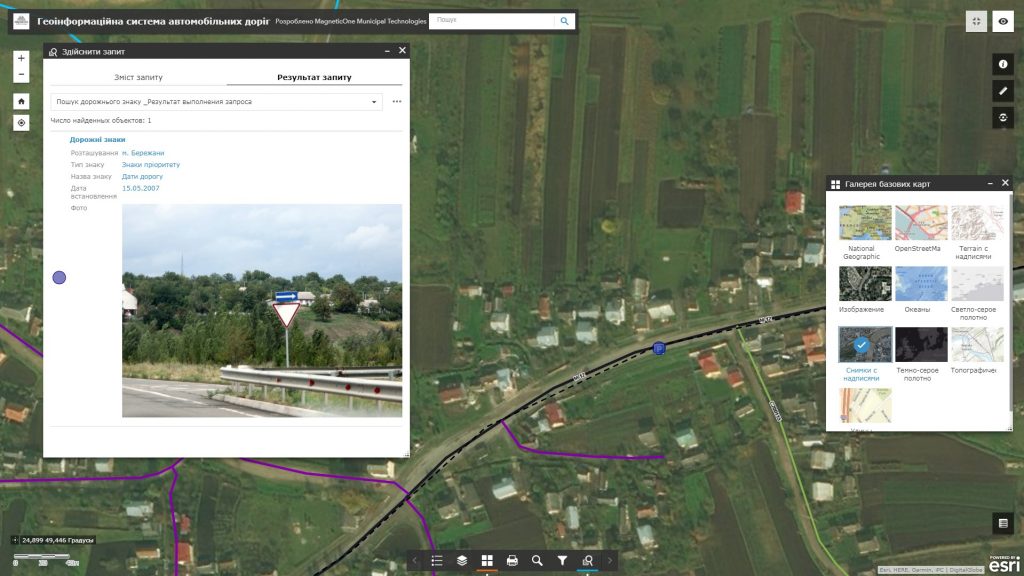
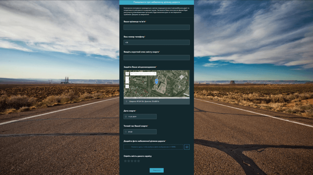
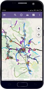
M1MT: Geoinformation system of highways is aimed for registration and certification, operation and maintenance management throughout the life cycle of highways. The system is used by road management authorities of all levels (state, regional, municipal), as well as in subordinate organizations. Use common technology to control highways outside settlements and city traffic network – a geoinformation system with a synced mobile app.
Features of the geoinformation system
- the fullest possible set of functions: map navigation, data editing, map vector layers operating, spatial analysis, address search;
- the user does not need any specialized software and cartographer qualifications for work as all you need is a web browser and internet connection;
- ease of search, quick update and database editing;
- constant readiness for operation;
- protection of information from distortion and unauthorized access;
- multi-user access mode and group database editing.


