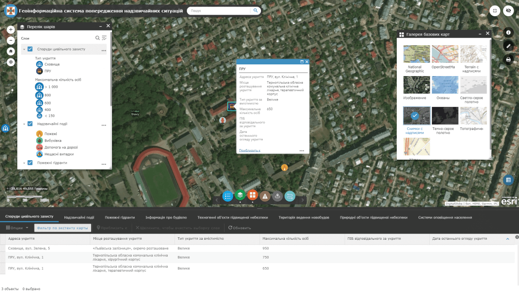
The era of applying the geoinformation systems to emergency solutions is relevant both for state and local government bodies and for the general public. The state of protection of the population, objects of the economy and the environment from various kinds of emergency situations largely depends on the measures developed in advance to prevent and eliminate emergency situations of a natural and man-made nature.
Predict the likely dangers in emergency situations, reduce the negative consequences for people, the economy and the environment. Implement state-of-the-art technology solutions and get an innovative civil protection strategy where the focus is on early warning of emergency situations and instant response based on monitoring and display of spatial data.
