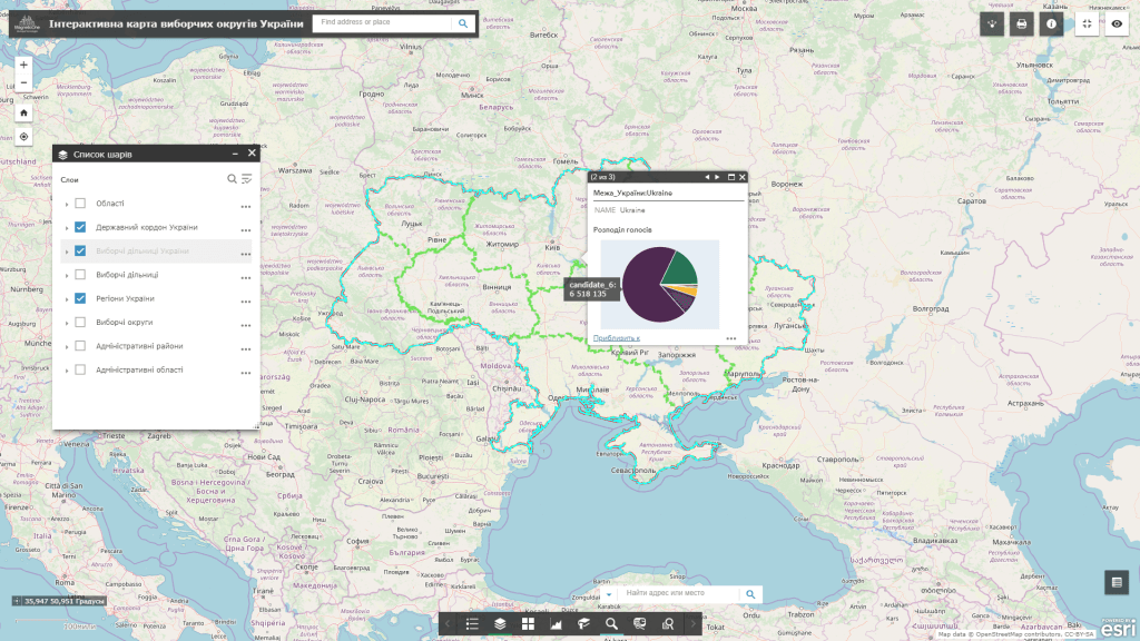
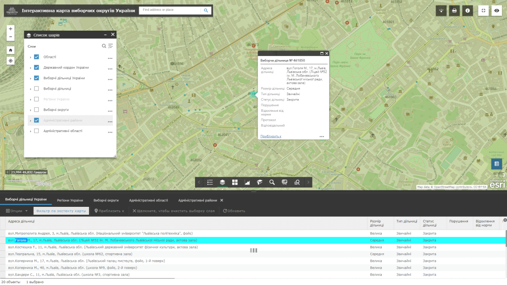
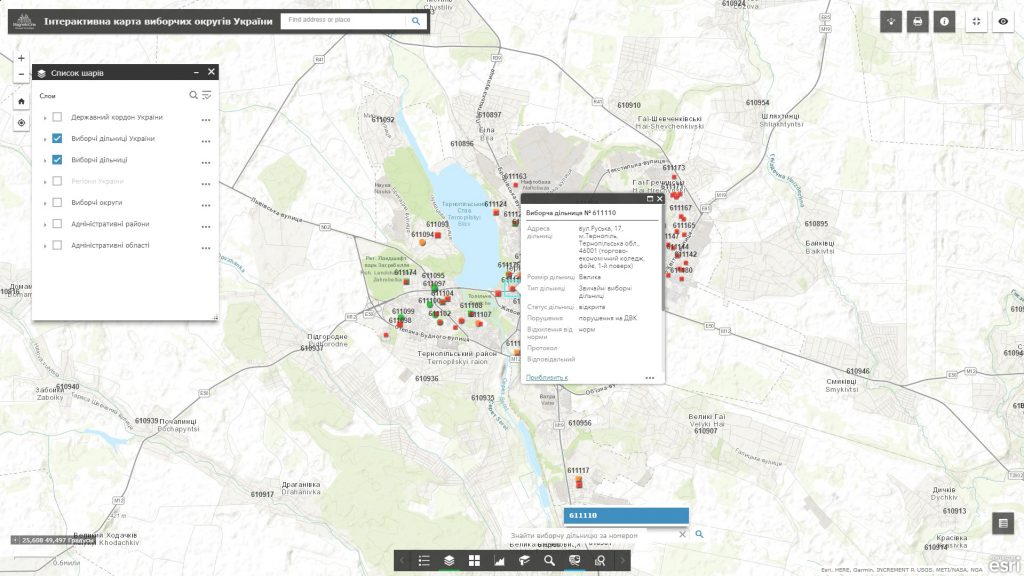
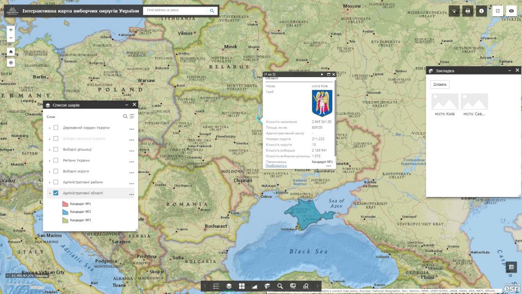
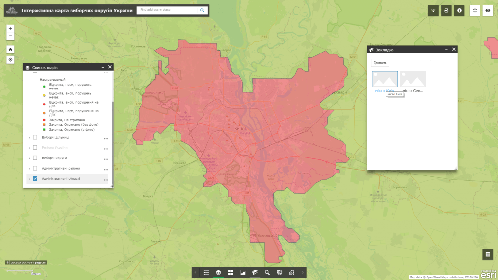
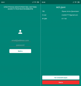
Geoinformation system for election management – is a qualitatively new approach to managing the election process. The core of the election management system is a powerful geoinformation platform synchronized with a mobile mapping app. The product allows real-time monitoring of the electoral process, parallel counting of votes, solves a set of tasks for collecting, storing, displaying and analyzing information about the course of elections in the sections – district – constituency – region – state.
GIS features:
- full set of functions: navigation on the map, data editing, operating with vector map layers, spatial analysis, address search by election commissions;
- to work, the user does not need specialized software and qualification of a cartographer, it is enough to have a web browser, an Internet connection and a smartphone;
- easy search, quick update and edit the database;
- constant readiness for work;
- protection of information from distortion and unauthorized access.
