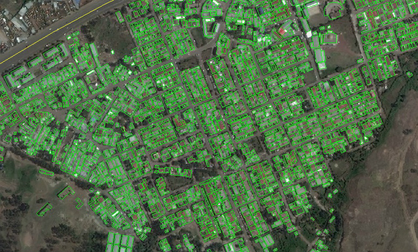
The company MagneticOne Municipal Technologies offers the digitization of cartographic materials of diverse complexity with parallel formations referenced to objects of the attributive database. As a result, you get a vector cartographic image, which may serve as the foundation for creating a complete geographic information system.
Digitization is a process of transferring objects displayed on physical or scanned paper maps into properly located points, lines and polygons in the environment of geographic information systems. Digitization is somewhat different from scanning, which is an automatic or semi-automatic process of converting the whole map into a digital format. When digitizing maps, plans, aerophotos, dots, lines and polygons are automatically converted into vector data by means of complex software or are semi-automatically converted by a responsible expert (technician, cartographer). Due to the prior definition of objects to be converted into vector format, a vector (digital) display of the selected data is created.

