Digitalization of soil map

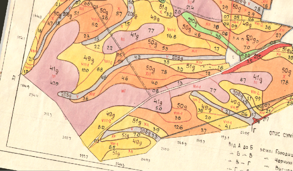
The company MagneticOne Municipal Technologies offers services on converting paper soil maps of different scale and complexity into electronic (digitized) form with parallel formations referenced to graphic objects of the database.

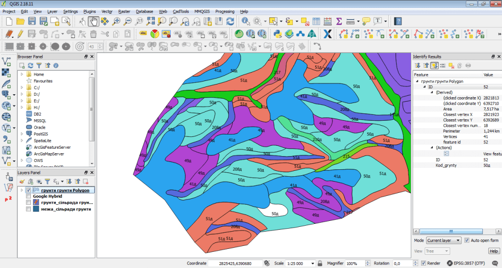
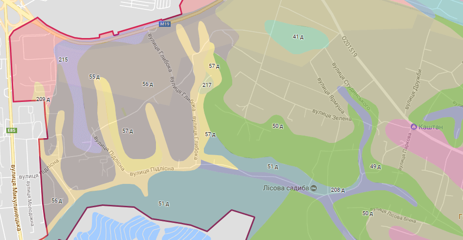
Digitization of soil maps is carried out by means of specialized software products (vectorizers). The result of digitization is a vector cartographic image which consists of a system of contours (boundaries of a certain soil type, boundaries of slopes steepness, the spread of drained lands, settlements and village councils, etc.), each of which is described by a certain parameter:

  • full name of the soil;
  • soil code;
  • slope steepness;
  • area of the soil contour, etc.

Advantages of using electronic soil map

  • data on soil bottoming may be available on any device connected to the Internet (if the conversion of performed work in the appropriate format was specified);
  • the possibility of operative updating of databases;
  • adding and displaying new information, fixed to a certain soil contour;
  • enhanced analysis and decision-making.
Оцифрування карти ґрунтів

Use user-friendly electronic soil map

  • as a tool for planning and carrying out agrotechnical and melioration works on the territory of various types of farms;
  • for the organization of rational use of territory
  • in on-farm land management, for the development of specific measures to improve soil fertility;
  • for solving special problems when carrying out research work at research stations, sorting stations and test fields, plantations of perennial plantations, drawing up landscaping projects for populated areas with due regard to the differences between soils.

The performed work is provided for the customer in the ArcGIS geoinformation platform format (files with *shp extension), MapInfo (*tab, *mif), AutoCAD (*dxf), Digitals (*dmf), Google Maps (*kml, *kmz) or in document editor Adobe Acrobat Reader (*pdf).

Services which will be provided prior to digitalization of soil map

  • Consulting
  • Scanning of paper documents
  • Georeferencing of cartographic materials
Коротка інформація

[contact-form-7 id=”10714″ title=”Форма партнерства”]


×