M1MT: Interactive map of out-of-school educational establishments (clubs)

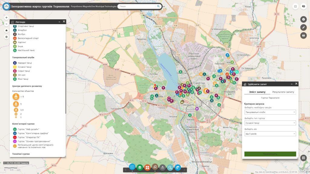
M1MT: Interactive map of out-of-school educational establishments (clubs) –  is a cartographic web resource that represents the network of out-of-school educational establishments of the city (youth sports schools and physical education centers for children, art schools, educational and cultural institutions for children and young people). The map is focused on a wide range of parents interested in the early detection and further development of inclinations and abilities in children, as well as schoolchildren themselves. The resource is designed to help participants in the educational process to choose an out-of-school educational establishment that is appropriate for the child’s tastes and abilities without leaving home using a smartphone.

Features of the interactive map

  • display of out-of-school children’s educational establishments of the city;
  • moving around the map, changing the display scale;
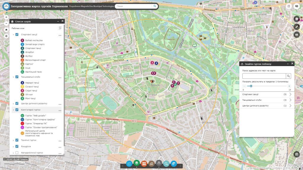
  • connection/disconnection of data to the display set;
  • connection of satellite images for display;
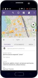
  • display of data and detailed reference information on a separate object;
  • performance of spatial and attribute queries, the ability to search;
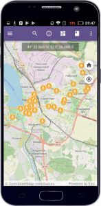
  • access to the map from a mobile device (smartphone, tablet).
Інтерактивна карта позашкільних навчальних закладів

Implementation, support and timely updating of the interactive map will allow

  • get a comprehensive view of the system of out-of-school educational establishments (state, municipal, private non-formal and other educational establishments as centers of non-formal education) and their location in the districts of your city;
  • to satisfy its very user, because the functionality of the interactive map is built in such a way as to filter institutions in areas of out-of-school education, and also contains additional information, in particular, contact details (website address, e-mail, phone number, interior and exterior photos, manager contact details or coach);
  • choose a club depending on the direction of its activity and the age category of the child;
  • choose a club, despite the distance from the place of residence, according to the abilities, talents, preferences and interests of the child.

The interactive map layers set includes

  • sports sections (football, basketball, floorball, martial arts, etc.);
  • dance clubs;
  • child development centers;
  • technical clubs;
  • computer clubs;
  • other out-of-school educational establishments.
Інтерактивна карта позашкільних навчальних закладів

Requirements, cost and timing of the order

To create an interactive map, the customer must provide in tabular form a list of out-of-school educational establishments with relevant data (contact information, a page in social networks, sectional directions, etc.), which will later be displayed in the web map database. For all out-of-school objects, be sure to specify the exact location (street, house).

The cost of creating an interactive map is calculated based on the number of thematic map layers and the number of out-of-school educational establishments, the extensiveness of the database, as well as the individual wishes of the customer. The deadline for creating a web map is up to 14 days from the date of the submission of necessary materials.

Services which will be provided prior to implementation of the map

  • Consulting
  • Scanning of paper documents and maps
  • Georeferencing of cartographic materials
  • Digitization
  • Provisioning of interactive map database
Коротка інформація

[contact-form-7 id=”10714″ title=”Форма партнерства”]


×