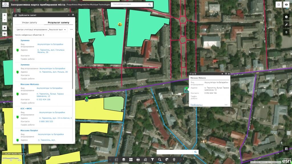
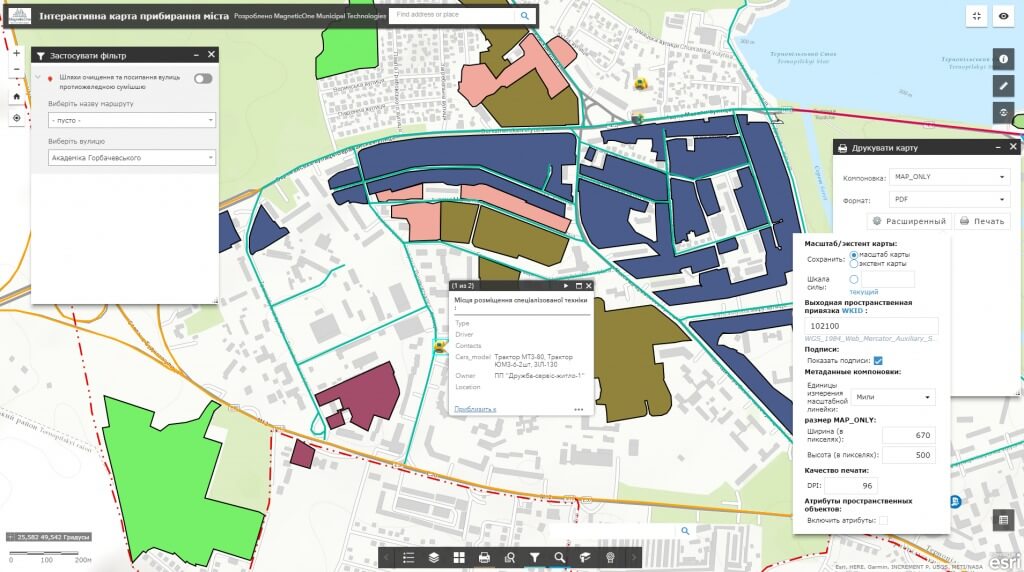
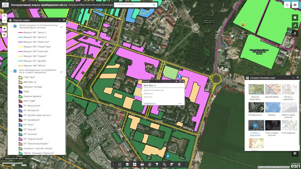
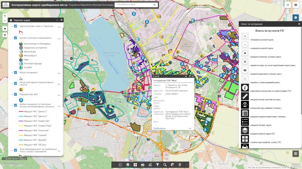
M1MT: Public service management is a municipal geoinformation resource, which, by means of a GPS monitoring, reflects the activity of utility equipment. Monitor location of passenger transport, special equipment (garbage, snow removing and asphalt laying machines, graders, etc.), emergency city services (fire-fighters, ambulance, police) that are responsible for cleanliness, safety and comfort of the city in real time. The main task of the product is to improve the efficiency of public services, avoiding extra costs, proper distribution of equipment and time in everyday work and extreme situations.
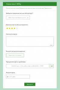
M1MT: Public service management provides public access to the mapping database published on the Internet through cartographic apps – the geoinformation system and a synced mobile app for the heads of executive bodies and city residents. GIS contributes to the improvement of standards of living of the citizens, quality of services provided by communal services, who operate the equipment, efficient management of the economy and industry of recreation, sports and leisure of the residents.
