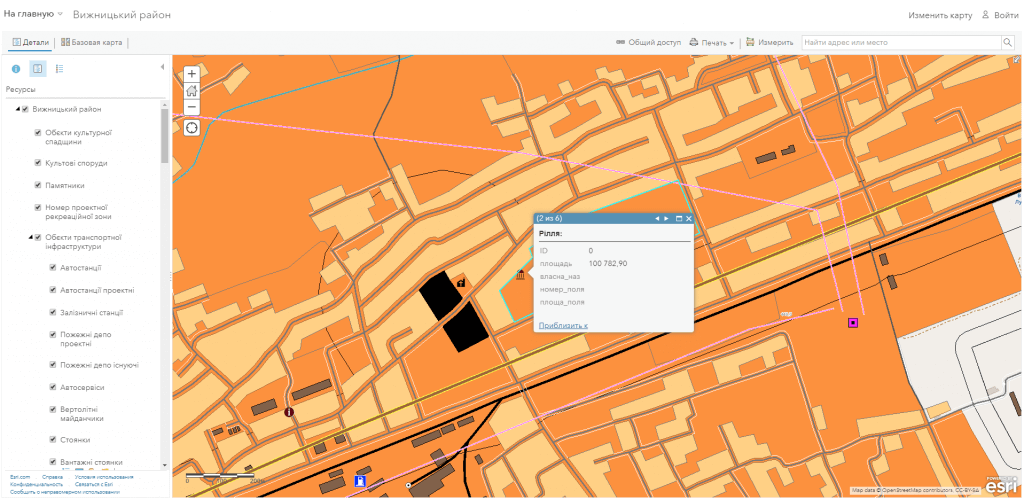
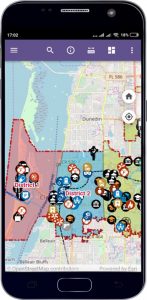
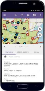
M1MT: Town management system

M1MT: Town management system is an innovative tool for managing the main spheres of life of a town, it’s land and labor resources, housing and communal services, traffic and engineering systems. Use the latest geoinformation achievements to solve the issues of collecting, storing, displaying and analyzing spatial information, as well as adopting effective management solutions at the town level.

The main goal of M1MT: Town management system implementation is to increase the standards of living of its citizens and improve quality of services provided by executive authorities, efficient management of the economy as well as the industry of recreation, sports and leisure for the guests and residents of the town. A GIS managed town which is open to cooperation with investors will be the best example of municipal governance organization.

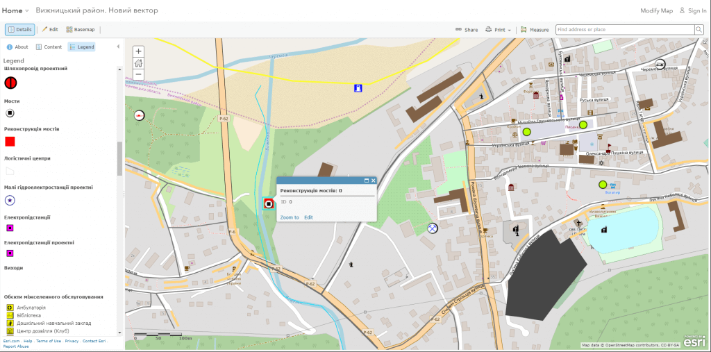
Implement GIS in the department of urban development and architecture of the town

  • form a unified informational space of the town, which contains information about the territory, regulations on its usage, real estate objects, transport and engineering infrastructure;
  • ensure publicity in urban planning activities, coordinated addressing any problems of the town, improving living standards of the residents and improving the quality of the urban environment;
  • provide citizens with access to information on the state of the environment, real estate market, transport and other reference information and cognitive geographic information services;
  • carry out an automated search for information and a detailed view of data on the object even together with popular cartographic resources (Google Maps, OpenStreetMap, BingMaps);
  • automate the processes of managing the address register, the address plan of a town, register of streets and objects via address registration subsystem;
  • carry out centralized management of data on the objects of urban planning, merged into classes of similar spatial data with the subsystem aimed for managing the database of geospatial data on the objects of the town planning cadastre;
  • provide quick access, administration and actualization of map and planning data, orthophoto maps, digital and electronic maps;
  • automate document management for addressing issues on urban planning on the basis of cartographic materials.

Implement M1MT: Town management system in transport and communications department

  • conduct complex analysis of the network of highways and road conditions by integrating the parameters of smoothness, strength, the cohesion of the road, geometric characteristics of highways (number of driving lanes, the width of the lane, roadway, and walkway, etc.);
  • get relevant analytical and statistical information on traffic accidents, accident-prone areas and other road hazards;
  • design engineering networks with the account of existing communications, terrain and type of soil;
  • automate everyday work of community service workers, reduce risks, including those related to their safety;
  • get reliable, documented justification for making managing decisions due to the capability to create a photo report of the corresponding issue and assessment of solution criticality;
  • detect a poor state of equipment and tools that directly affect the comfort and safety of the citizens (for example, confirmation of the safety of buildings, structures, compliance with fire safety requirements, the reliability of fire hydrants);
  • respond to accidents and emergency situations promptly and localize them.

Optimize the work of the department of land resources and environmental protection of a town by means of GIS

  • effectively manage lands of the settlement, control activity of land management enterprises;
  • identify and track adverse and dangerous geological and geomorphological processes (ravines, landslides, karst, surface subsidence, flooding, etc.);
  • provide informational support to state bodies, interested enterprises, institutions and organizations with the relevant information necessary for solving sustainable development and ecological status issues of the town;
  • get information about the legal status, affiliation, regulation, geographical position, quantitative and qualitative characteristics of the conservation area and objects, their environmental, scientific, educational, disciplinary, recreational and other value;
  • provide public access to information on environmental issues and decision-making.

M1MT Town management system database structure: basic geoinformation resources

  • a single cartographic basis: (orthophotoplan, digital topographic and geodetic basis, site plan, zoning plan) with a register of geographical names (streets and rivers), a layer of buildings and constructions, etc.;
  • theme information resources: supplemented by the corresponding attributive component: a network of objects of social infrastructure and industrial use, natural resources, sources of pollution, utilities, etc.;
  • complex or problem-oriented information resources as a set of basic and thematic resources, which are united in a certain system with formation of a new resource for solving territory management issues, for example, areas of limited development (sanitary, water and nature protection), conservation areas around utility objects (gas pipeline, water pipeline, power lines, etc.).

Services to be provided prior to GIS development

  • Consulting
  • Scanning of paper documents and maps
  • Georeferencing of cartographic materials
  • Digitization
  • Provisioning of interactive map database
Коротка інформація

[contact-form-7 id=”10714″ title=”Форма партнерства”]


×