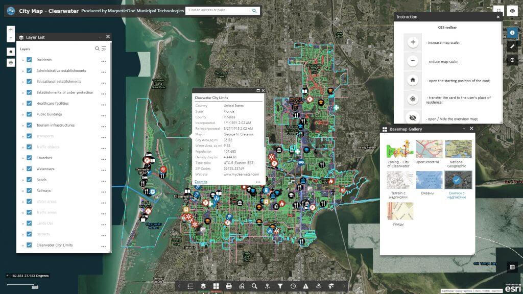
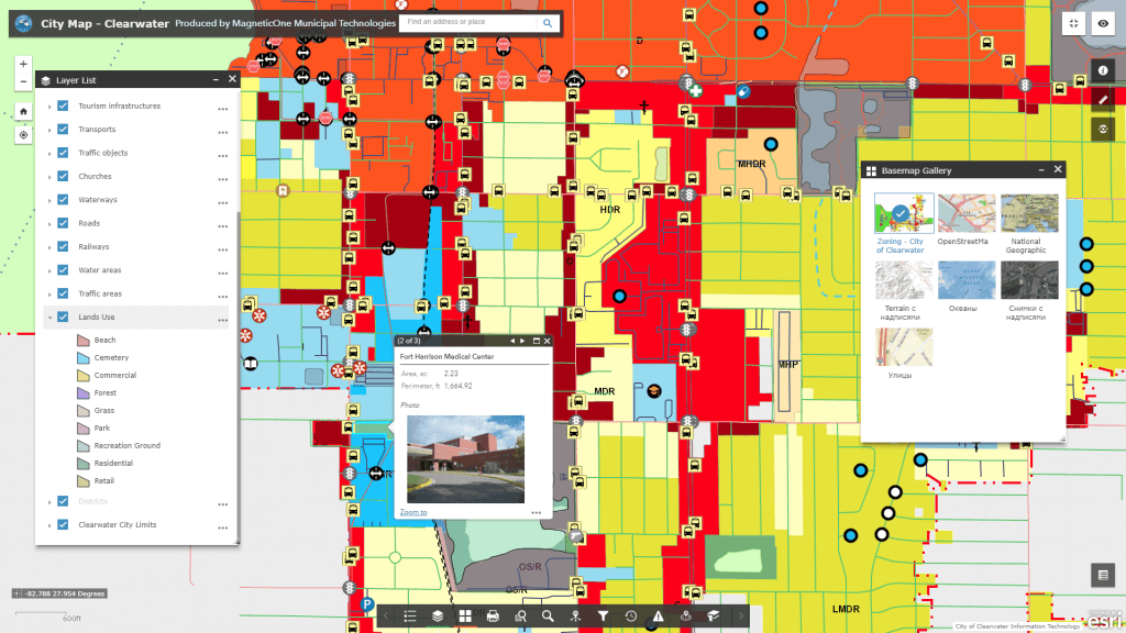
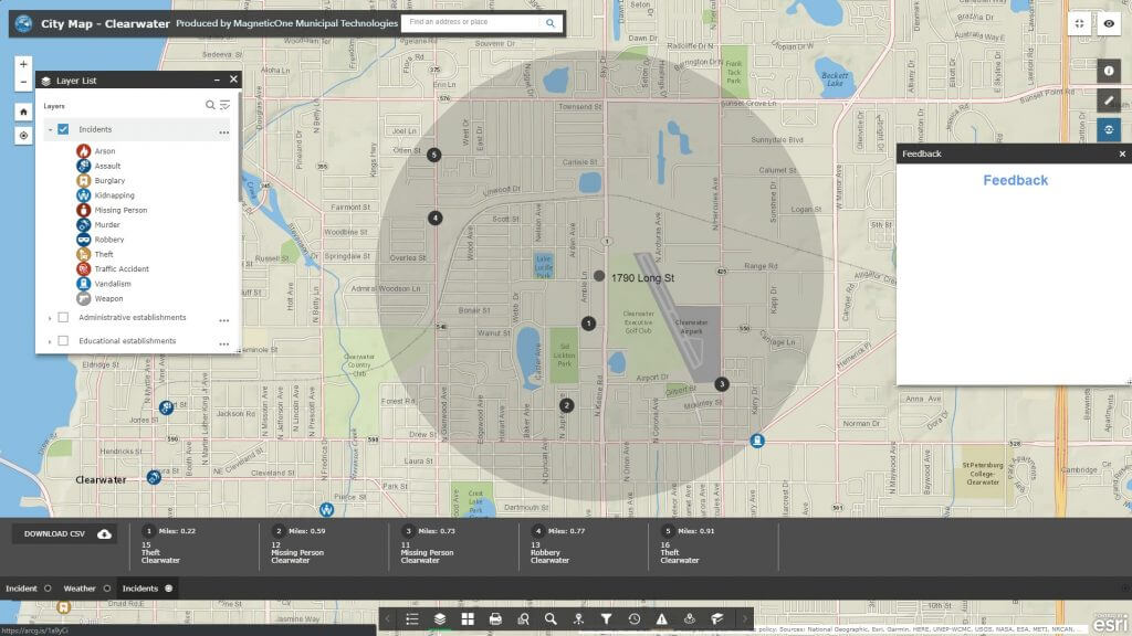
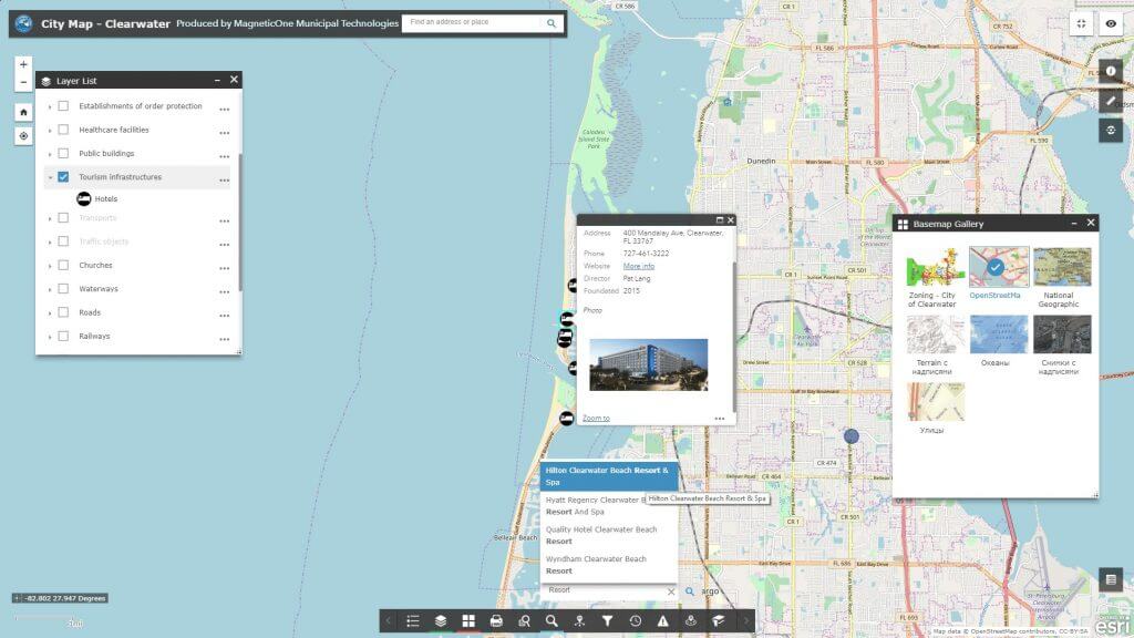
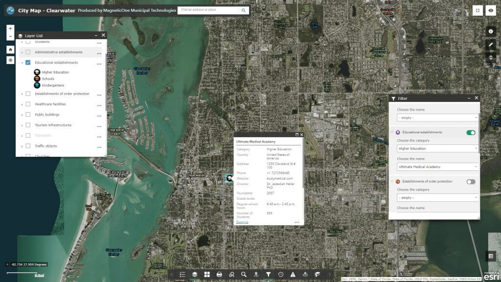
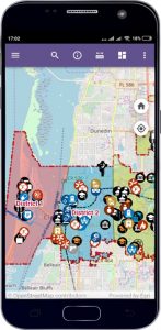
Geoinformation system of the city – is a web resource created for solving a set of tasks on collecting, storing, displaying and analyzing spatial and other related information about the objects, processes and phenomena of the city. Use the city geoinformation system (GIS) to get regulated access to reliable and relevant city data, while spending much less time on searching, analyzing and generalizing. The city GIS provides support for the most reasonable management decisions on developing the territory of the municipal entity on the basis of the operational provision of complete objective information about available territorial resources, real estate objects, engineering and transport infrastructure, information about its development and planned changes to any entity operating in the city. GIS of the city is based on the legal acts of Ukraine, international and European Union standards for the development of spatial data infrastructure.
Geoinformation system of the city
Create a comfortable city environment based on the GIS of the city
- form a single information space of the city containing information about the territory, regulations on its use, real estate objects, transport and engineering infrastructure;
- computerize management of documents for solving issues in the field of urban planning on the basis of cartographic materials;
- develop municipal information infrastructure;
- computerize processes of preserving and updating information about the objects of the urban environment, increasing its reliability and efficiency;
- provide local governments, city sustainment organizations and citizens with reliable information about the territory of the city;
- provide information and processes support in the field of territorial administration, analysis and forecasting urban environment development.
Advantages of implementing the Geoinformation system of the city
- a single software geographic program for the provision of local government activities that meets the requirements of DBN (National Building Code of Ukraine) Б.1.1-16:2013 “Structure and content of the urban cadastre”, DSTU (National Standards of Ukraine) -Н Б Б.1.1-18:2013 “Guidelines for the formation and maintenance of the urban cadastre.” DSTU Б Б.1.1-17:2013 “Graphic documents legend in urban planning documentation.”;
- scalability of a software solution, flexibility of system configuration with account for existing constraints and urgent needs;
- small cost of basic modules (components) of the system; regulated access to spatial data and other information;
- regulated access to spatial data and other information;
- convenient mechanism of data exchange between different units and departments;
- e-service of citizens, institutions and organizations;
- reducing costs on collecting, processing and maintaining of cartographic and other spatial information in current state as well as a quick return of investments;
- adherence to international standards and standard formats of data exchange;
- automation of routine procedures.
Approximate structure of the GIS database of the city
- basic geographic information resources: a single cartographic basis (orthophotoplan, digital topographic and geodetic basis, site plan, zoning plan) with a register of geographical names (streets and rivers), a layer of buildings and structures, etc.;
- thematic information resources are supplemented with the corresponding attributive component: a network of engineering communications, a register of urban planning conditions and constraints, temporary constructions (Small Architectural Forms), advertising structures, natural resources, architectural monuments, medical institutions, educational and cultural institutions, industrial and financial objects, and others;
- integrated or problem-oriented information resources: building restriction areas (water protection, environmental and sanitary protection zones, red lines), highway areas with current repair operations, etc.
